If you’re one day thinking of hiking around the Alps for a few days, you might want to consider visiting the Cerces mountains and the Clarée valley. Hidden in the middle of the Alps, between the Écrins and the Vanoise, not too far from the city of Grenoble, it harbors multiple stunning landscapes that are reachable for all levels of hikers, and can be tackled with in numerous ways, be it through a long trek or through multiple small day hikes, which are accessible through the town of Nevache.
The trail is accessible all the way by public transportation, car sharing and hitchhiking options are great too, that is how I traveled the last part of the trip, for more information see at the end of the article.
Follow me through this adventure to get to know more about those mountains, all the pictures are sourced from my personal trek there.
Day 1
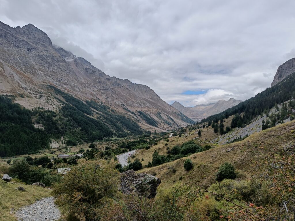
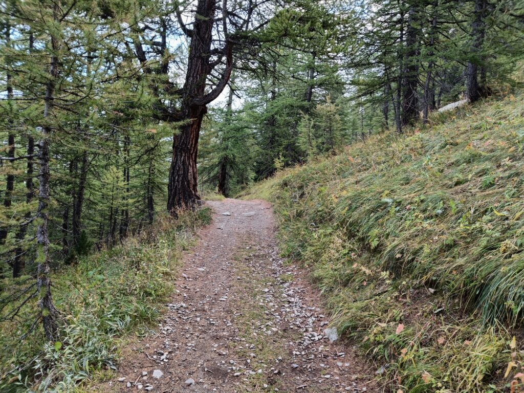
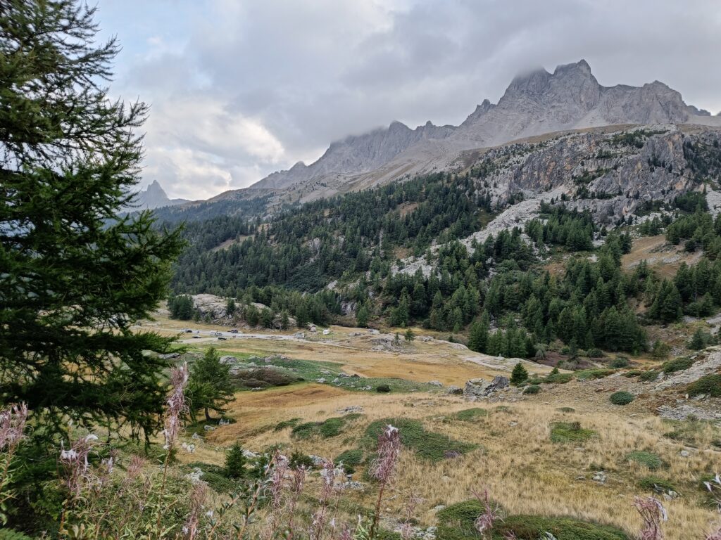
Right out of the starting point, you get to already see the valley that you probably come from, seeing the Écrins right behind, while you still have a view on the road, nearly the only moment you get to see an active car road for the rest of the trip.
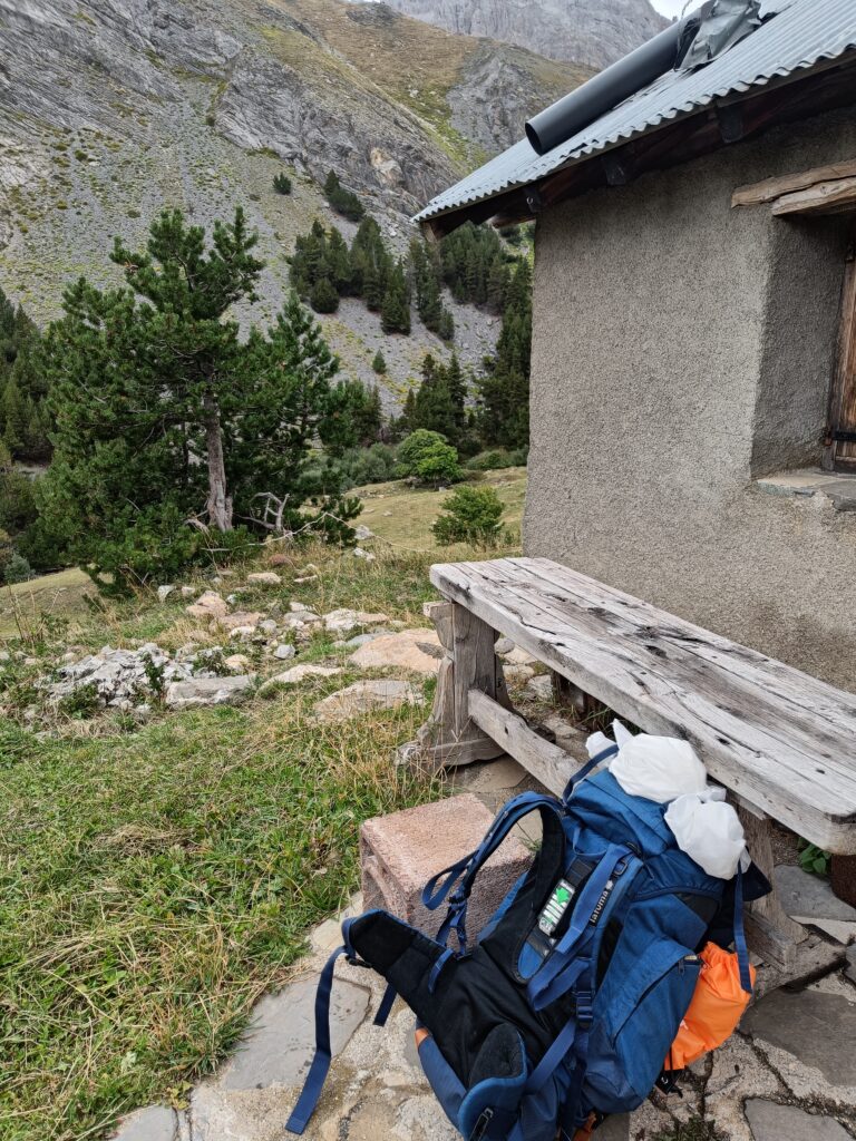
During the entire trip, you will regularly see small shelters from shepherds and some temporary inhabitants of the region, they also have tables and water points that can help you in your travel.
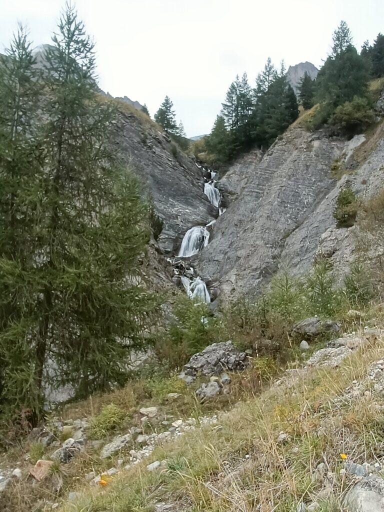
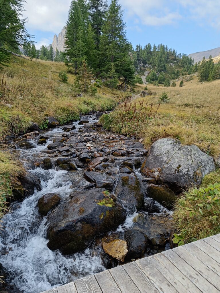
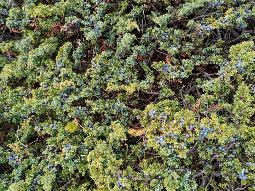
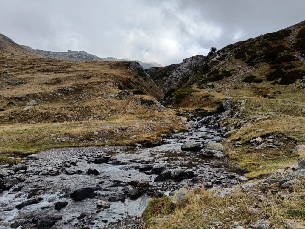
You will then very quickly get greeted by the first out of so many waterfalls. Water supply in this region is very profuse and you will not need to carry a lot of water with you. I would still advise to use a water filter for safety.
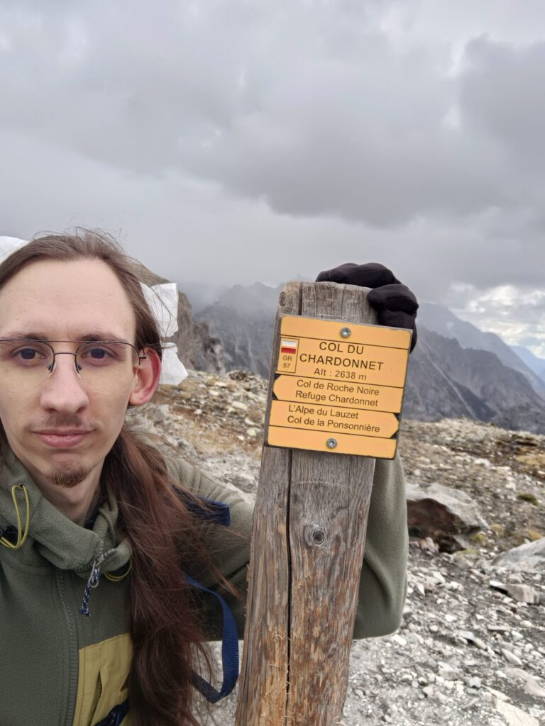
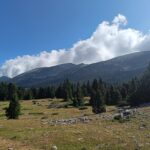
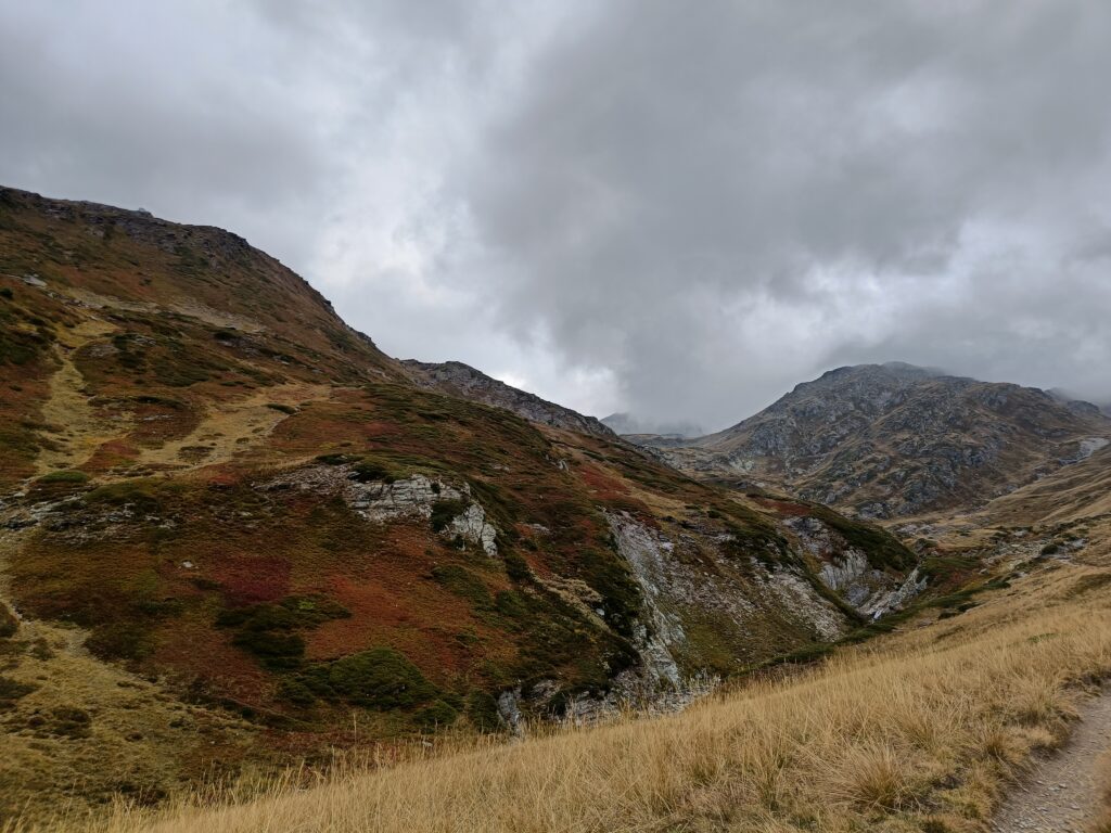
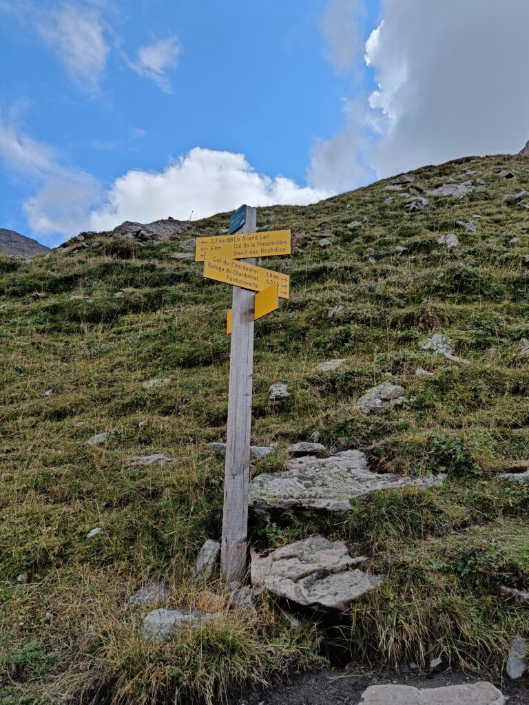
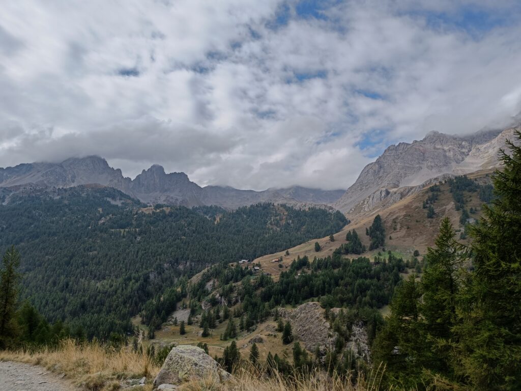
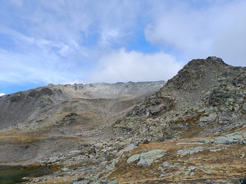
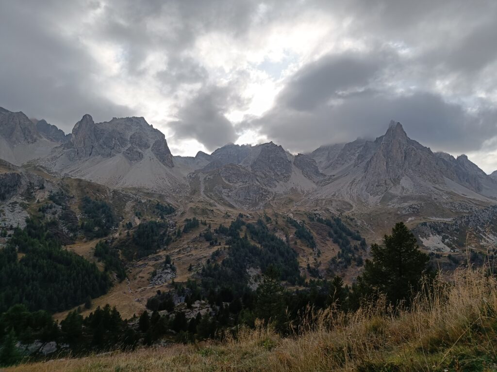
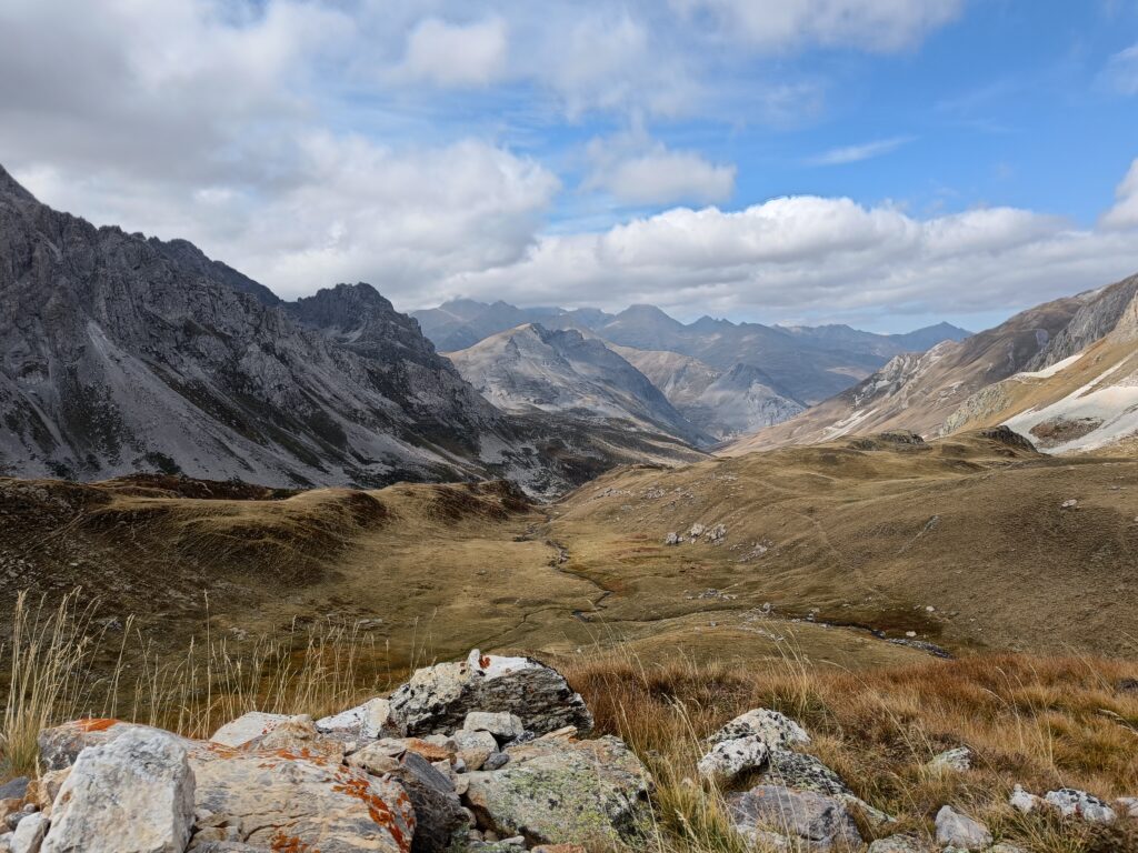
After a steep climb of 900m high in direction of the “Col du Chardonnet”, right since the start of the trail, you will reach the first pass, and that is the highest point of the day. Here you can observe a great panorama showing the mountains you arrived by today and the mountains you will reach tomorrow.
Depending on the time of the year, after climbing down a bit along the mountain, you will reach the “Refuge du Chardonnet”, which is a good and friendly stop for the night. It is also possible, if you decide to sleep in your tent, to setup a small bivouac in the area. You will find many good-looking spots all around the area, be sure to respect the regulations and setup your small tent only for one night, setup after 19:00, and leave no trace once you depart the next morning!
Day 2
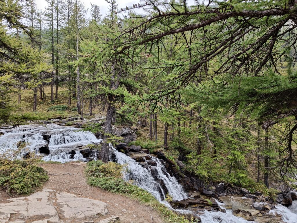
After packing up camp, a small climb down will bring you to the Valley of the Claree already. A short addition of a 5min walk will present you with the waterfall of Fontcouverte, which is even more stunning in real life than on this picture.
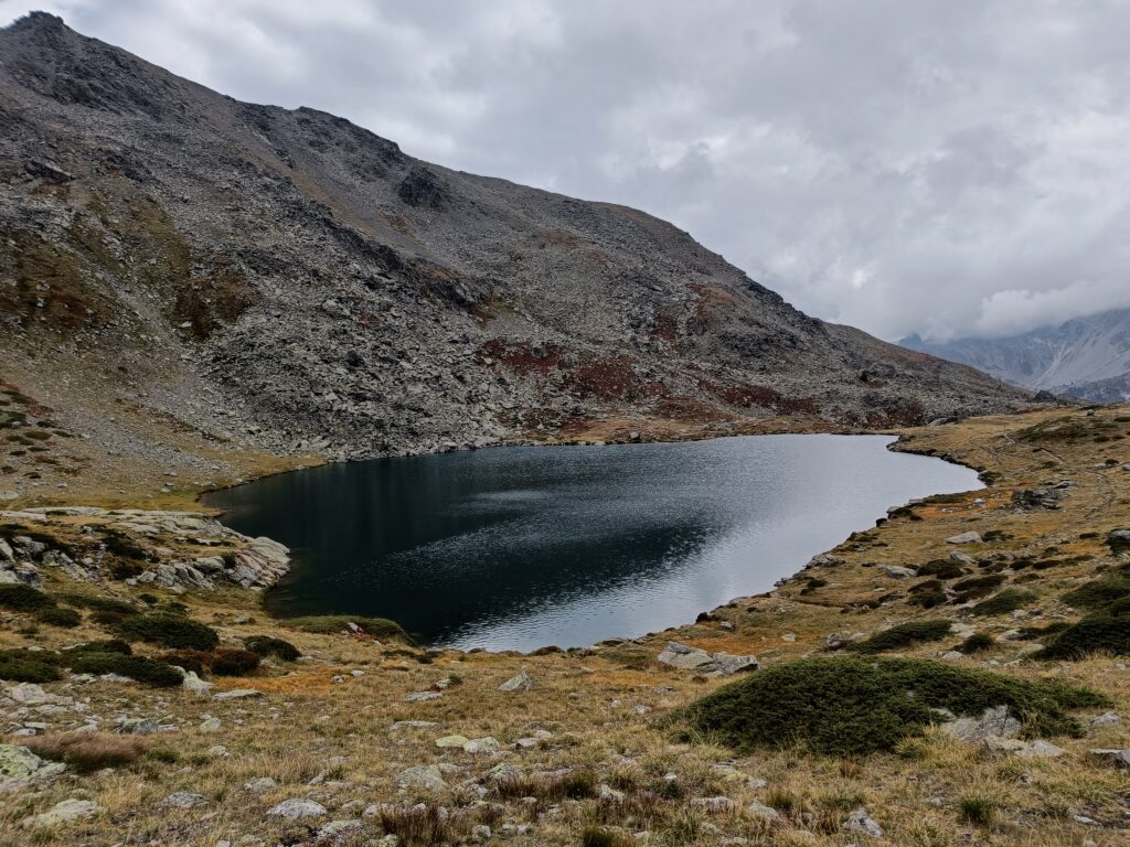
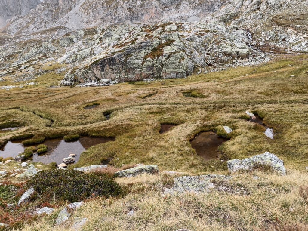
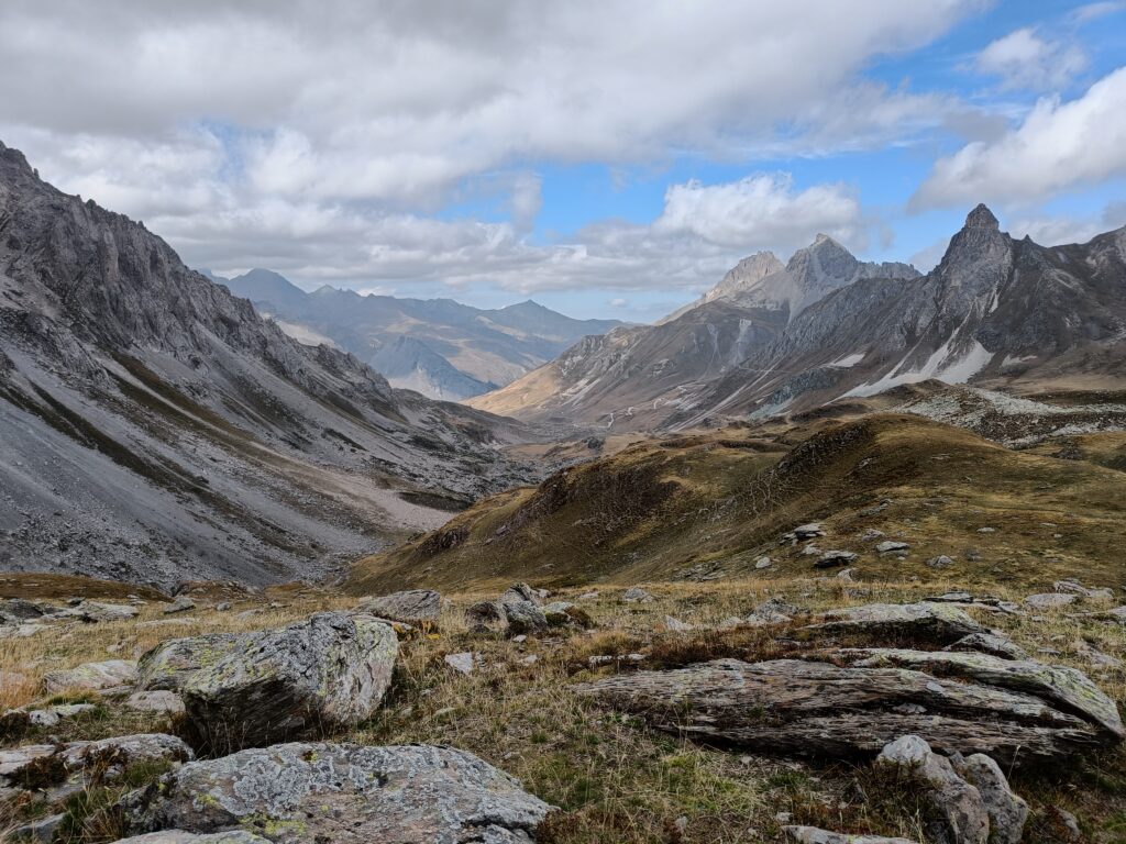
The rest of the day will consist of going up the other side of the chain, through a route that goes through many lakes which will each leave an impression on the landscape.
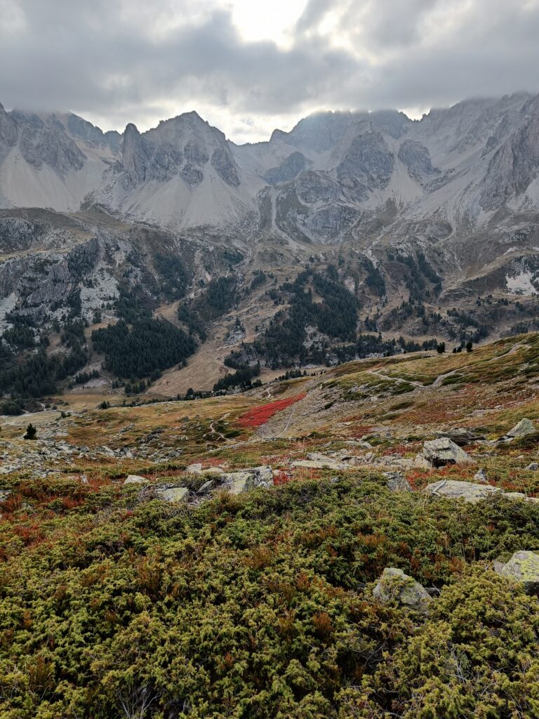
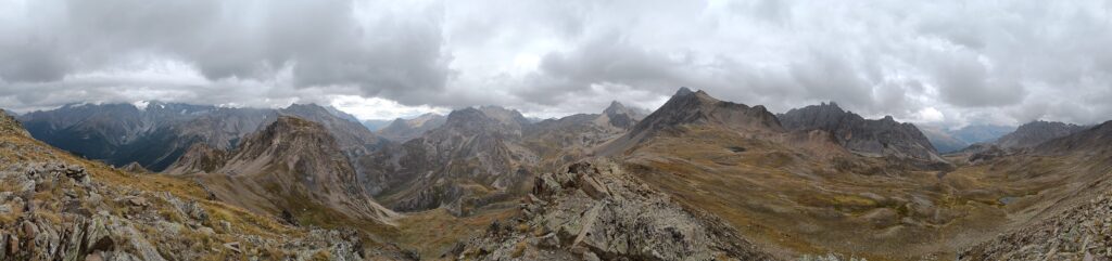
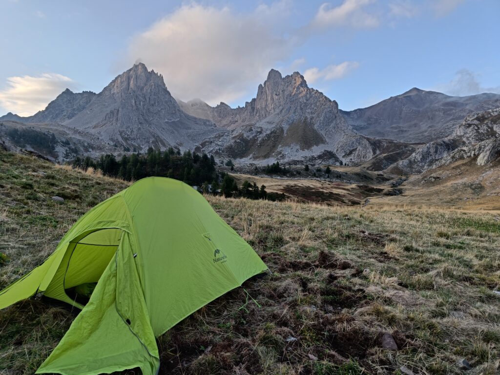
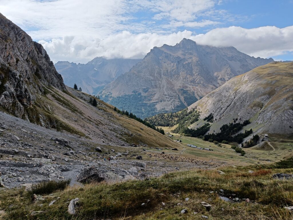
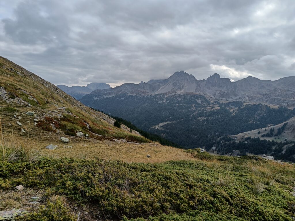
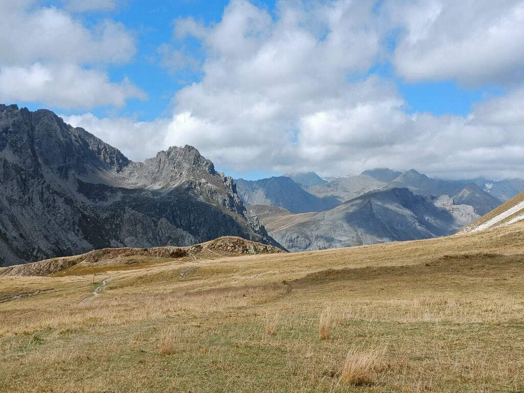
Now in your back will be the Cerces mountains culminated by the Cerces peak, this will be a redundant background for the coming day and a half, before finally tackling their heights.
For the night, I decided to come down back to the valley and have a warmer night on a lower altitude, rocked to sleep by the sound of the Claree river. The great meadow-style section of the valley is home to a lot of very good camping spots. If you want to sleep in a shelter, the “Refuge de Laval” right in the middle of the valley, or the “Refuge des Drayeres” at the bottom of the next mountain are both great options for the night.
Day 3
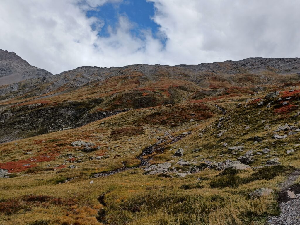
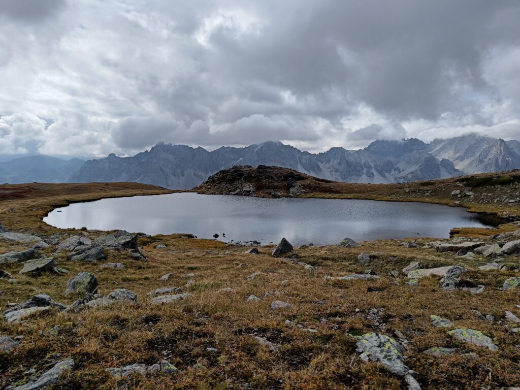
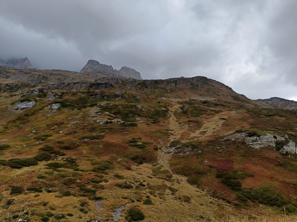
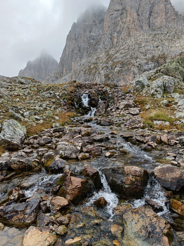
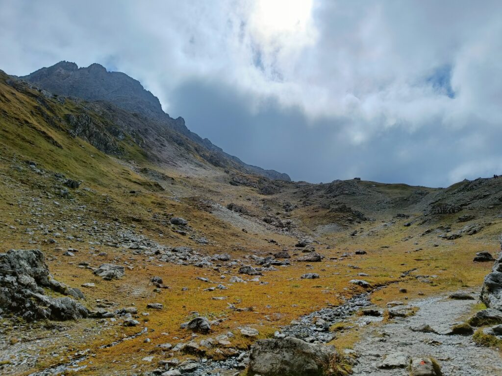
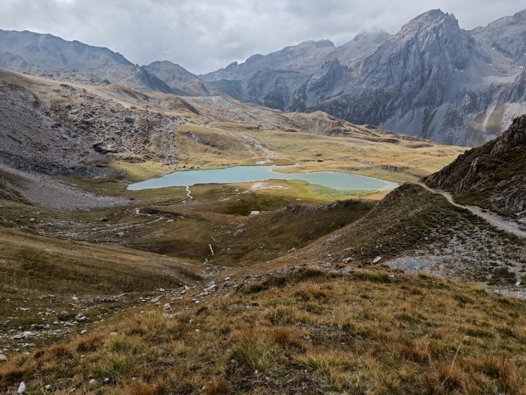
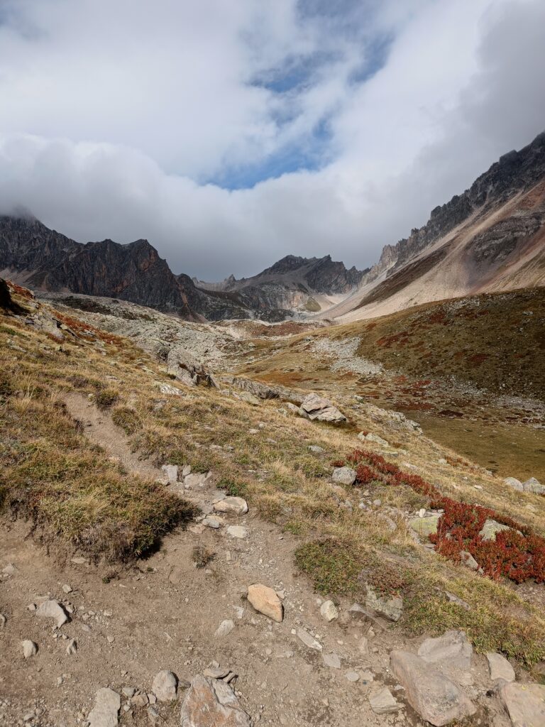
On the next and final day, new landscapes appear with vibrant autumn colors, and will show further lakes with even different styles than the previous day.
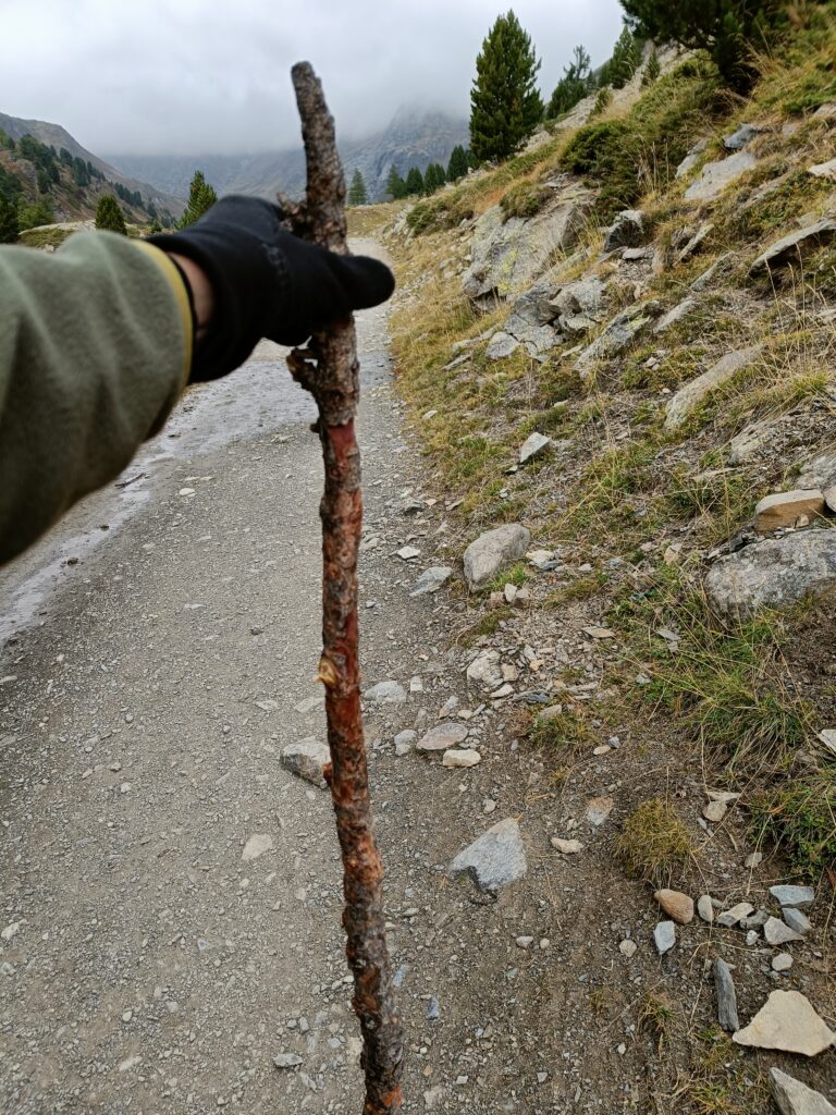
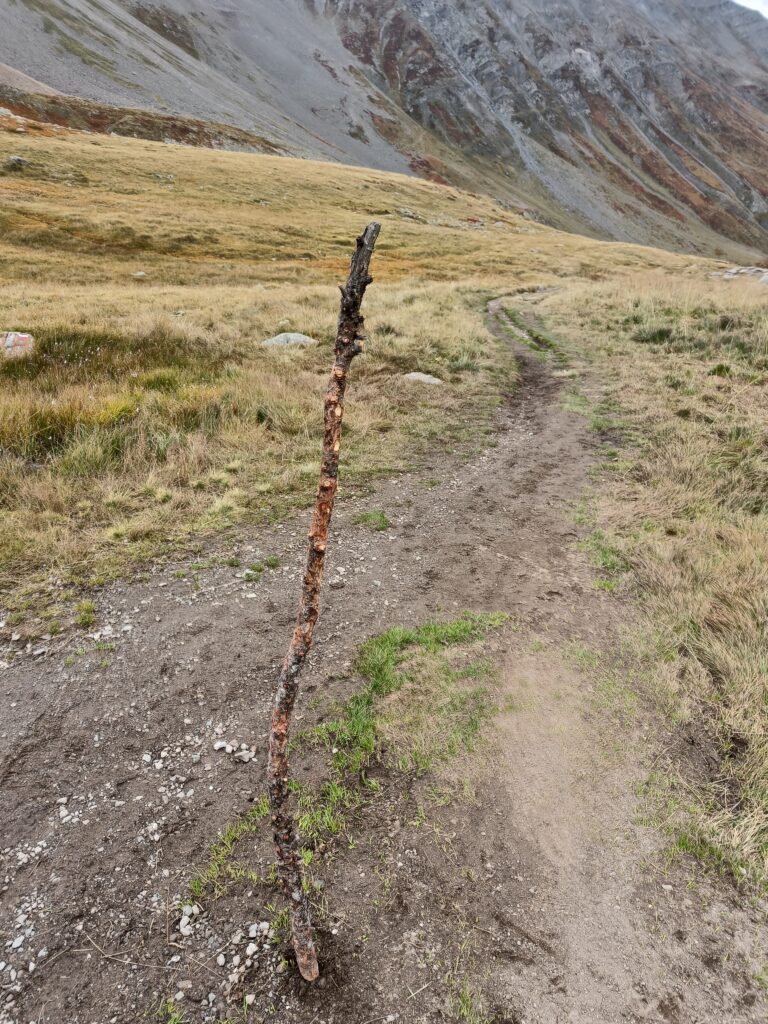
If you don’t have hiking sticks, you might be able to create your own too 🙂 Maybe you will find Eric-Marc waiting for you, I left it at the start of the trail when coming back, so that a fellow adventurer can make use of his refined handles and sturdy structure.
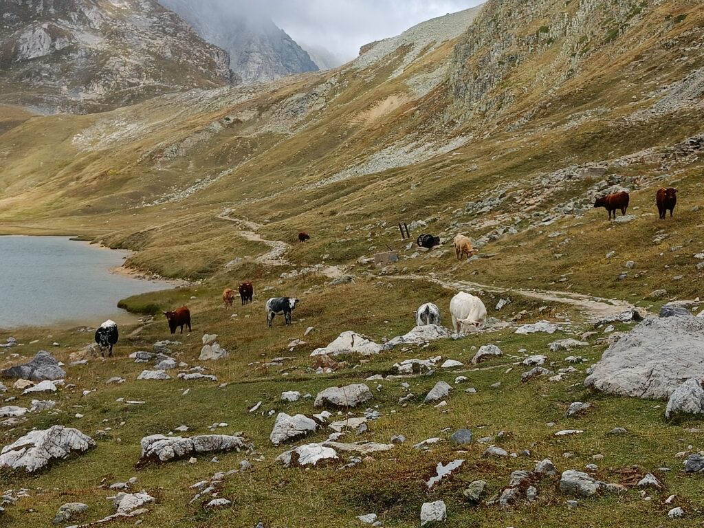
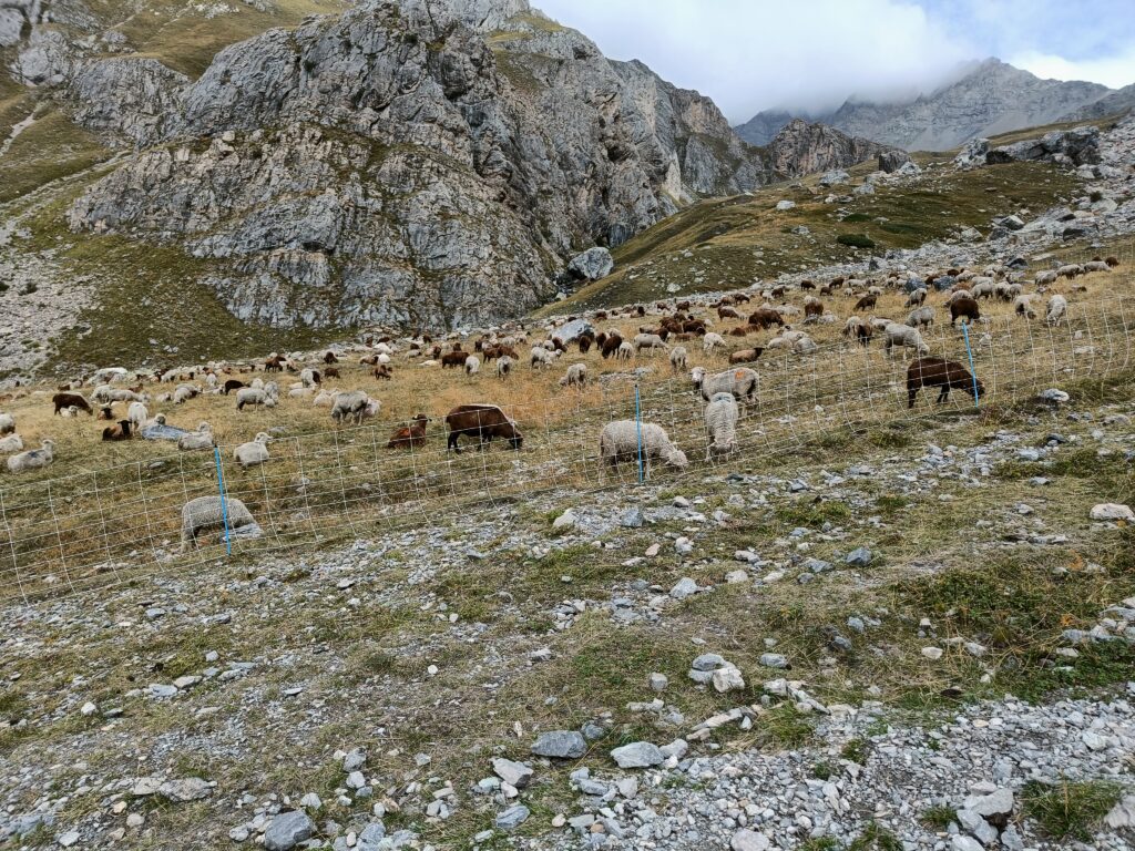
Some herds of cows as well as sheep might be present on the trails. Cows are mostly non-aggressive, but you might want to stay alert because some might be protective of their children, or might feel attacked and retaliate. If you also encounter a flock of sheep, be sure to go around it, and not cross it, in this region, shepherds use protection dogs (“patous”) to keep predators away from the sheep. It will take a few barks and some time for the dog to recognize you as non-belligerent, so better stay calm and walk normally, or even stop.
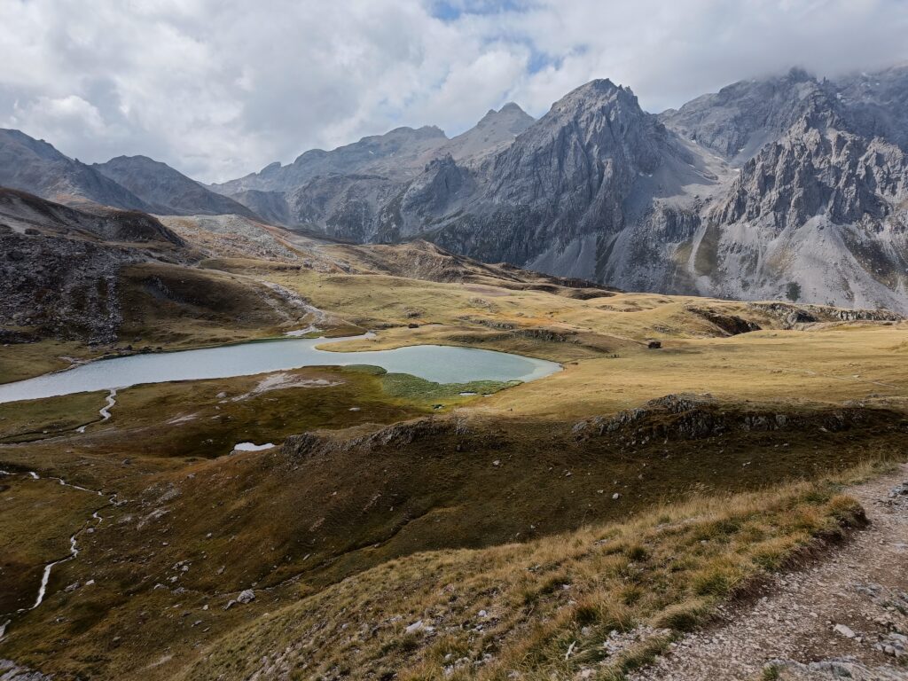
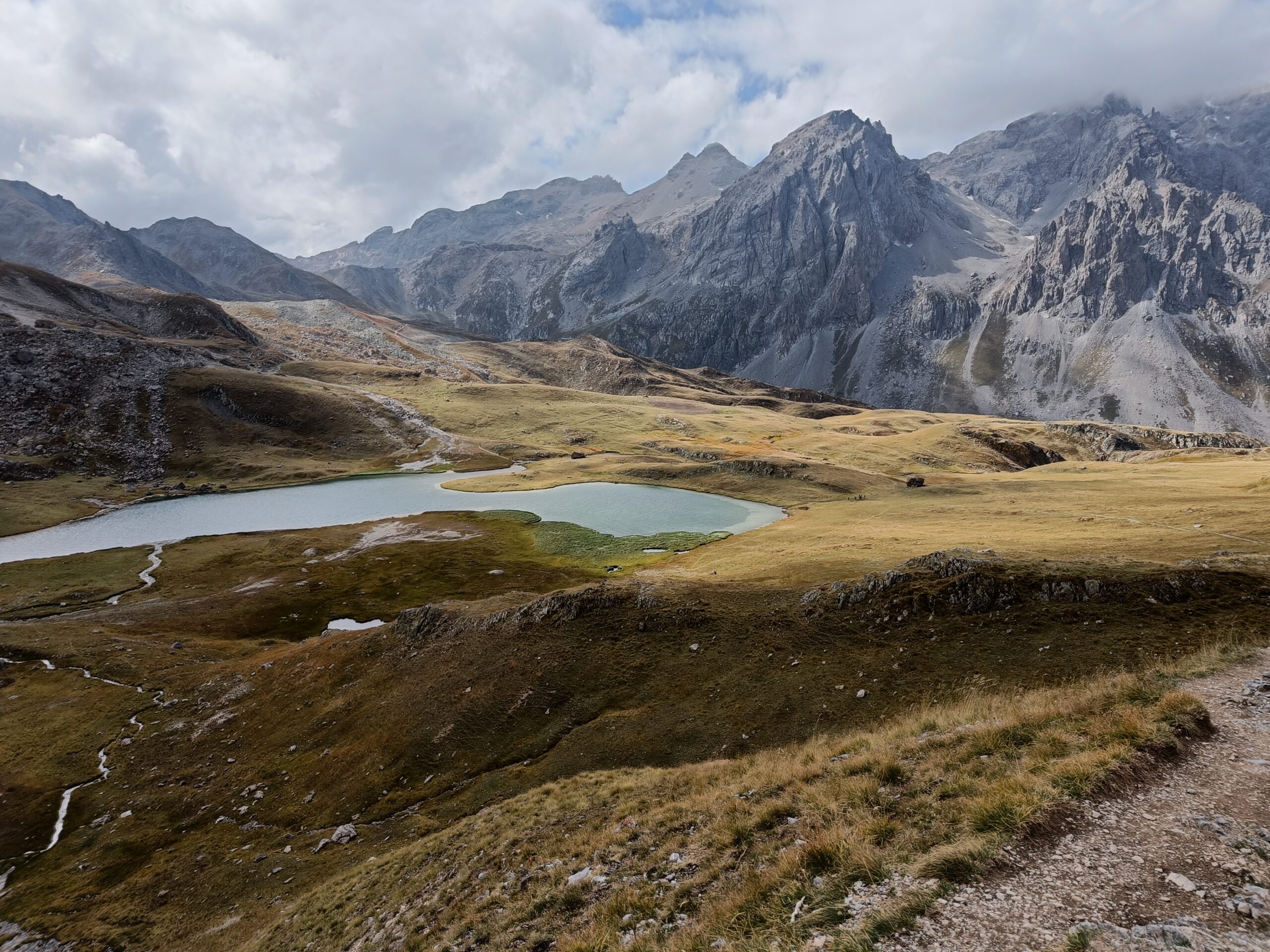
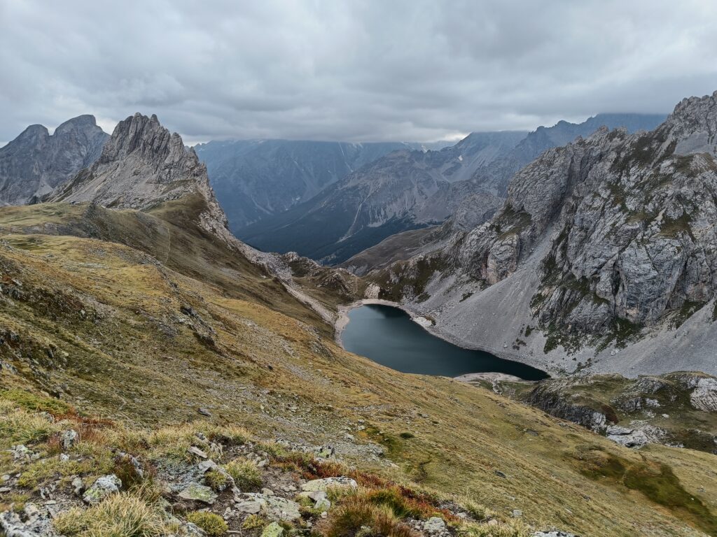
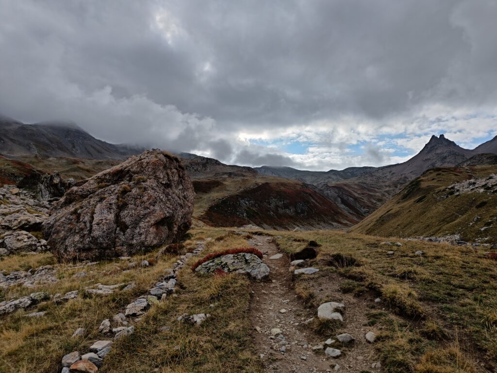
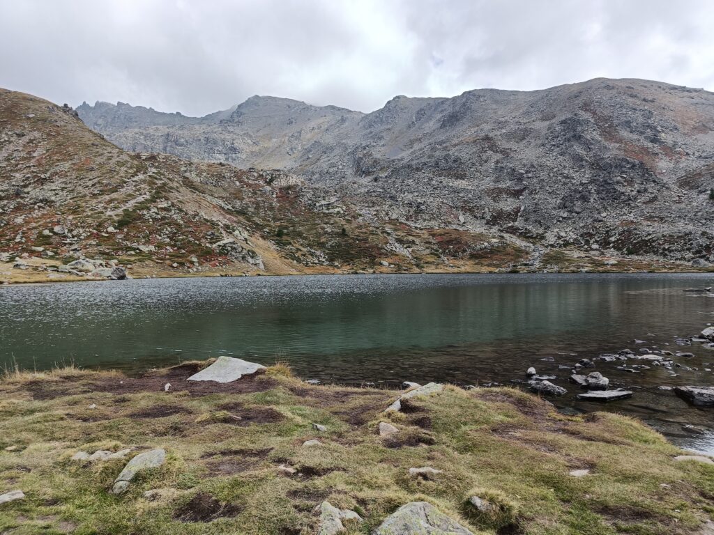
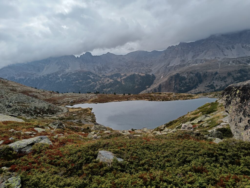
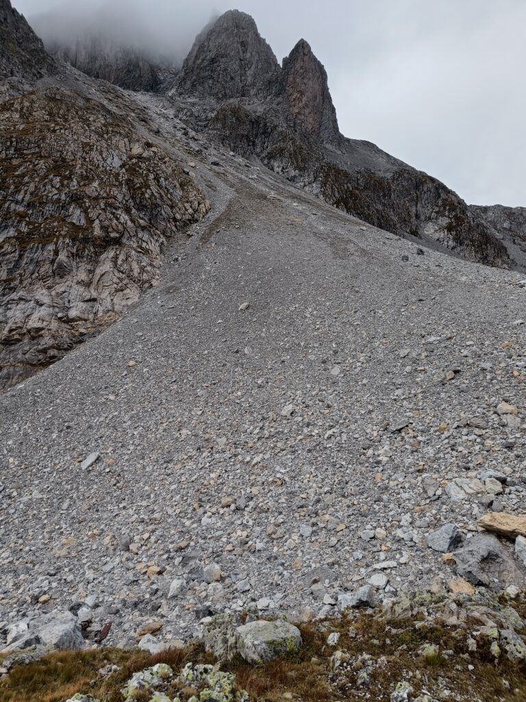
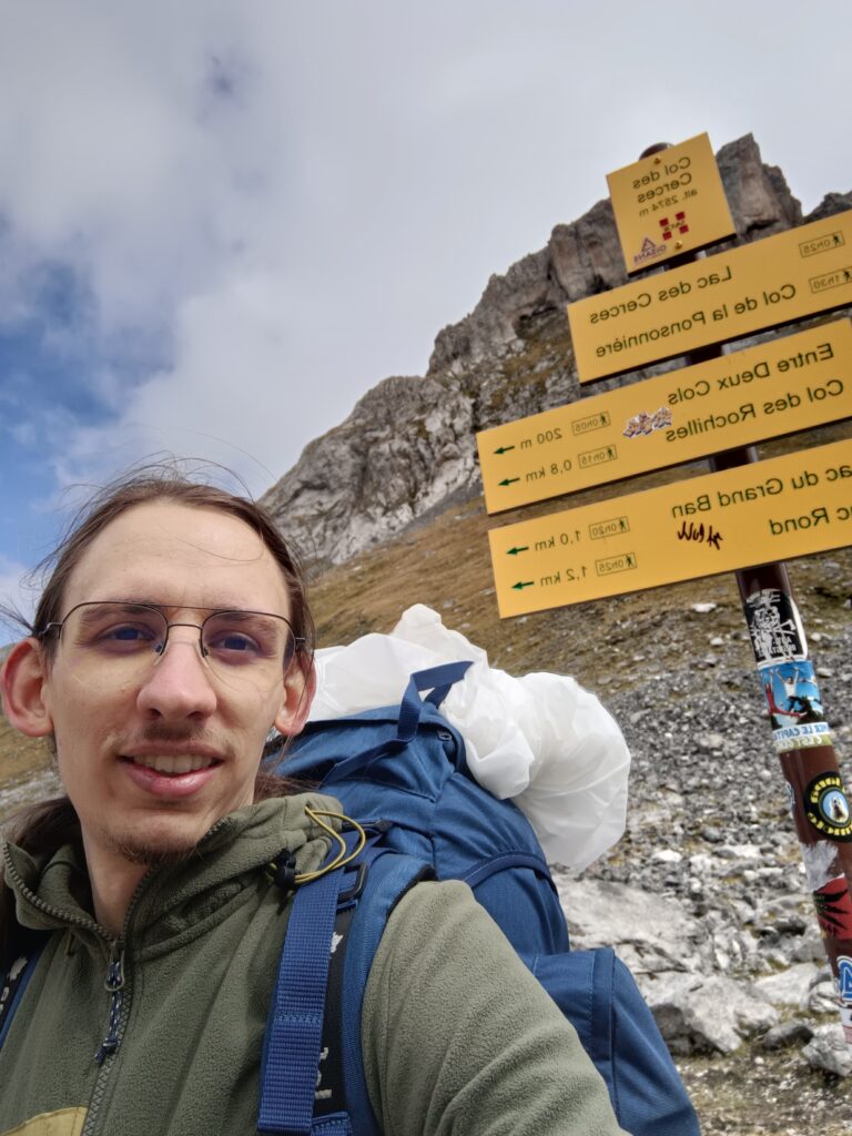
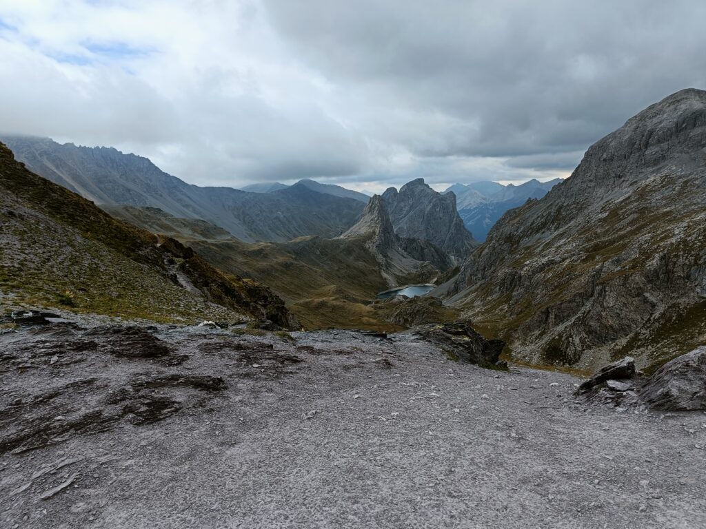
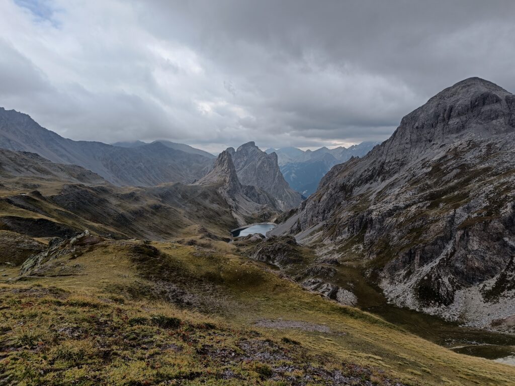
After the second pass of this trip (“Col des Cerces”), you will discover one of the most beautiful lakes of this trek, surrounded by spacious meadows that give a view to a plunging valley and an incredible view on both the closes summits and some further up the Alps. It is a great spot to take a small break and enjoy a nice ray of sun when it is present.
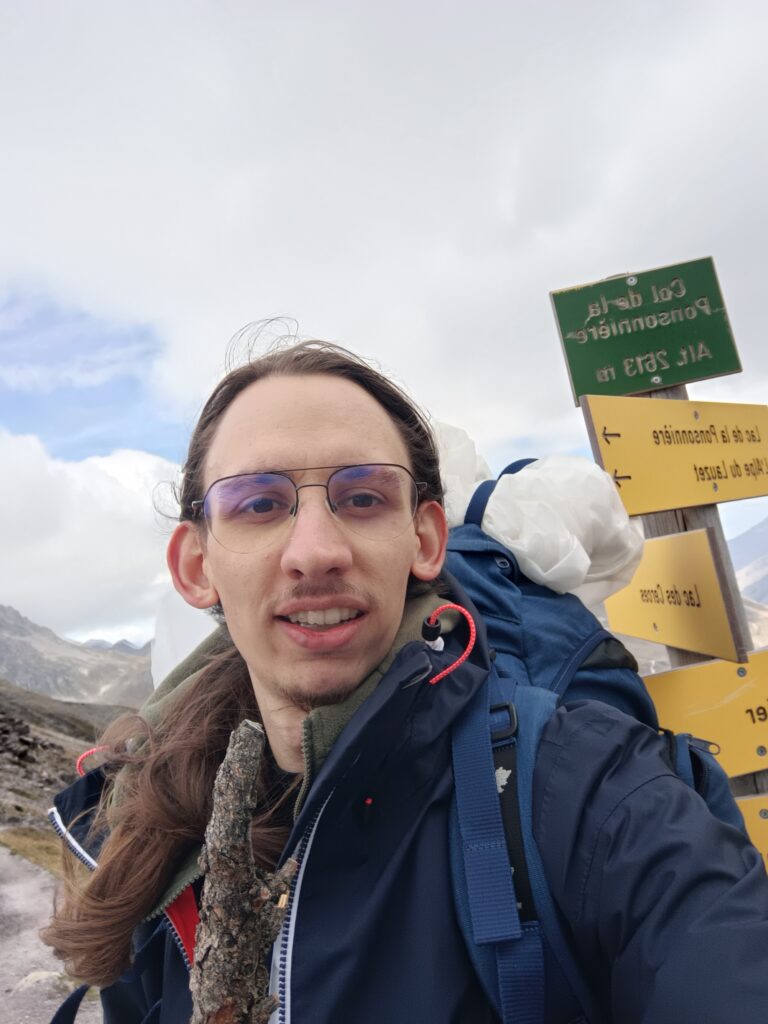
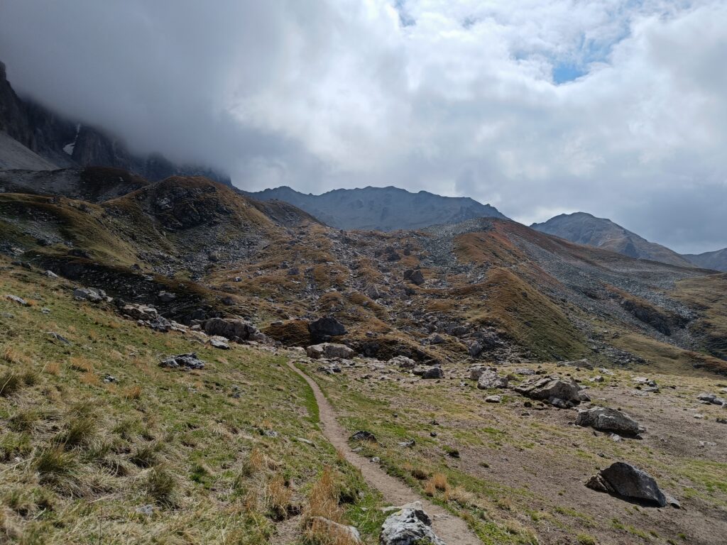
Continuing on the trail in the direction of our starting point, you will cross the third and last pass, the “Col de la Ponsonniere” at a height similar to the first pass. After that, the trail starts to go down slowly until the end.
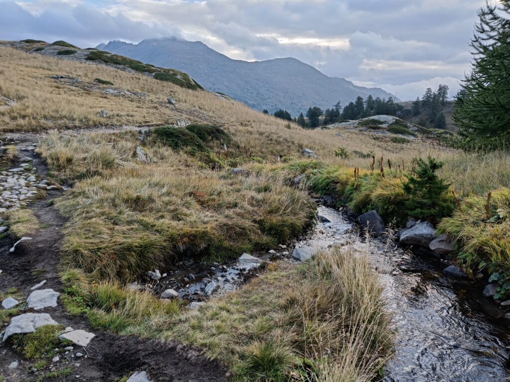
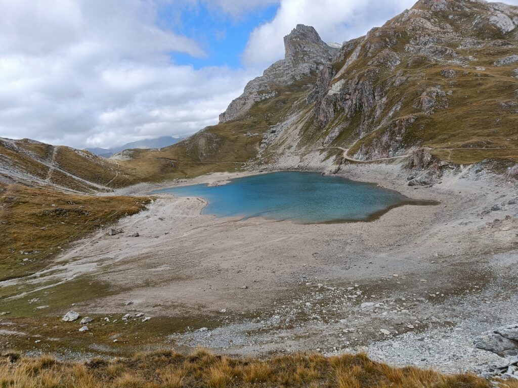
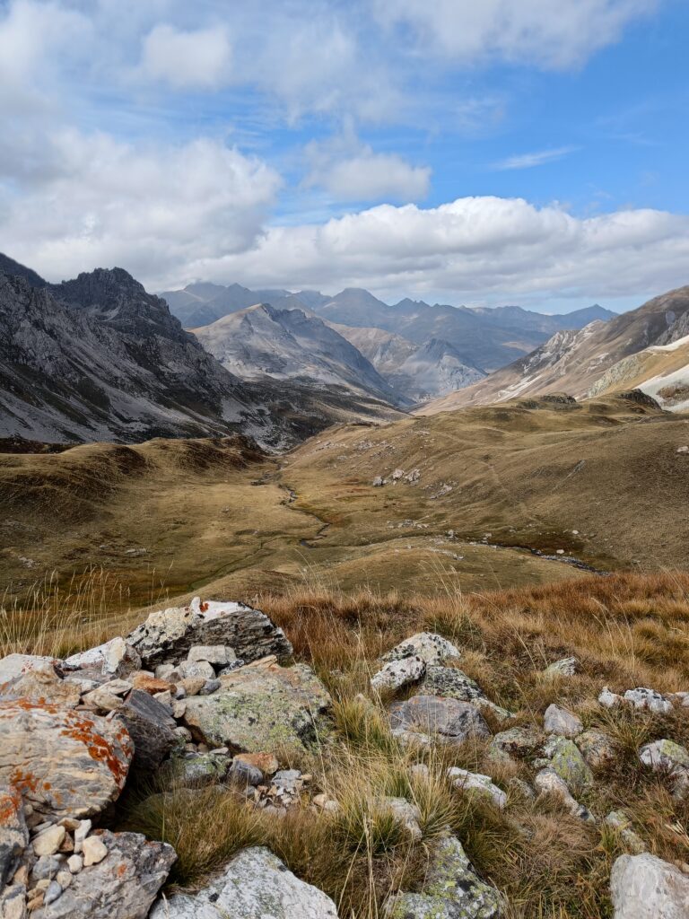
On the way, you can still admire two lakes, including the “Grand Lac” and the “Lac de la Ponsonniere”, the first one being lodged in between more rocky sections of the mountain, and the second one providing a nice relaxing spot for yet another break before starting on a steep descent back to civilization.
If that did not convince you to give it a try, or if you just want to appreciate more pictures of my trip, here is a gallery of pictures from the overall adventure.
Going there
By public transportation
First reach Grenoble, this is doable by plane, but we’re talking about trekking here, so is it really needed that we use a plane? 🙂
- Grenoble is reachable by train from Paris and other cities in France, but that might require booking some time ahead to have a good price for the train.
- I believe there is also an option for a night train from Paris to Briançon.
- Multiple bus options are also available that you can book on a shorter notice and will drive you in quite over a night to Grenoble from, for example, Amsterdam. Such options include BlaBlaCar and Flixbus.
From either Briançon or Grenoble, you can:
- Catch a twice a day bus from “Zou” that brings you to “Le Lauzet” which is the start of the trail.
- Hitchhike your way there, many friendly people use that road everyday
- Use a Car sharing option like BlaBlaCar that also provides many options daily.
By car
For a longer hike, you can access to the parking place called Pont de l’Alpe, and start your trek from there. https://maps.app.goo.gl/zJmqaB9PGmC4recz5
For a smaller hike you can start directly through the valley of Nevache and pick your destination to walk to from there. https://maps.app.goo.gl/sXSSyuC5mjpXqRWq9
If you’re interested for a list of the equipment I used on this trip, the food, some recommendations, maps or questions, do not hesitate to comment or reach out!