The Vercors is a protected nature area in France. Rich in history but also in untouched nature, it is a large playing field for any hiker and sports lover. Located at the entrance of the alps, the area consists of peaks reaching up to 2300m, as well as high-plateaus between 900m and 1500m of altitude. A unique situation that created landscapes that are just as unique. Between meadows and forests, sharing the space depending on the altitude. A favorable ground for a hiking adventure if you’re willing to spend a few days away from any civilization.
One of the options to discover these landscapes is to follow the GR (Grande Randonnée – Long distance hike), which crosses the region, that is what I’ve decided to do, except for a few variations, over the course of 5 days and 4 nights of adventure in the middle of this wilderness.
Follow me for live-by-step theadventure of the Grande Traversée du Vercors (GTV)
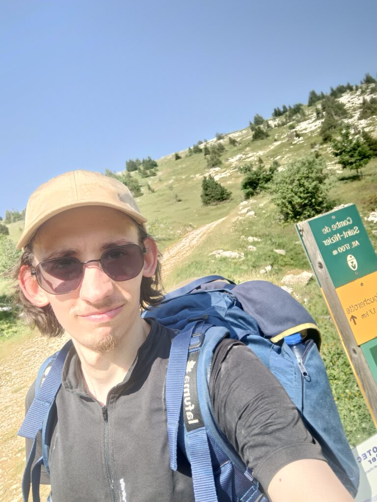
Day 1
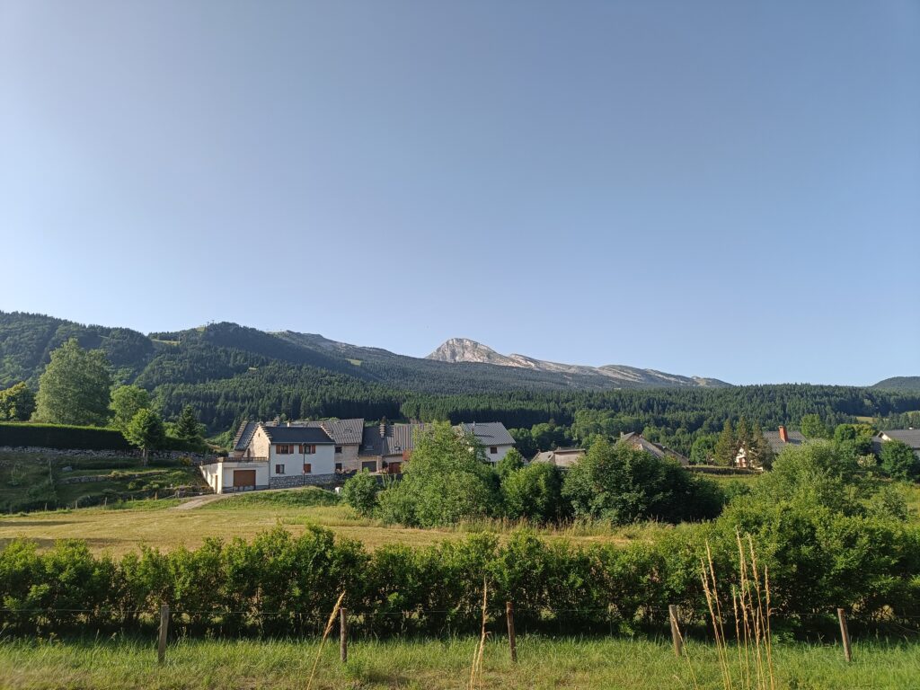
The first step of this journey begins in Die, a small (but not so small) village in the south of the Vercors. Don’t hesitate to get yourself some little pastries before the start of the hike because the rest of the day will prove to be particularly difficult.
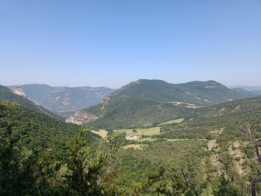
As soon as you leave the village, an unexpected warm-up comes up very fast, a small climb of 400m is waiting for you before reaching the Abbey of Valcroissant (the building in the photo below). Between the climb you expect when your prepare the trek at home, and the reality, the difference can be rather stark. Who would have thought that 400m could seem so up high, while at the same time so low compared to the rest of the mountains?
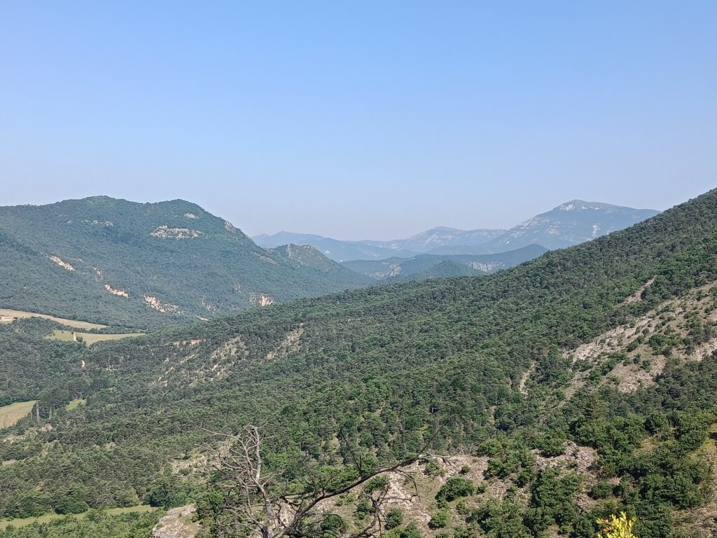
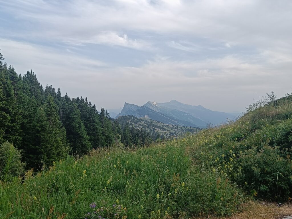
A crucial point in this adventure is the water. The resource is rare up in the plateaus. For now I’ve seen only a single stream, and as expected it was the rest stop of several hikers, who like me will attempt to conquer those mountains. The first part of this long climb is a good overview of the following days. Alternating between hot spots and forests.
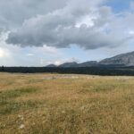
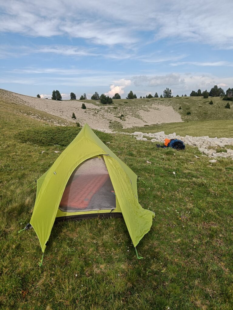
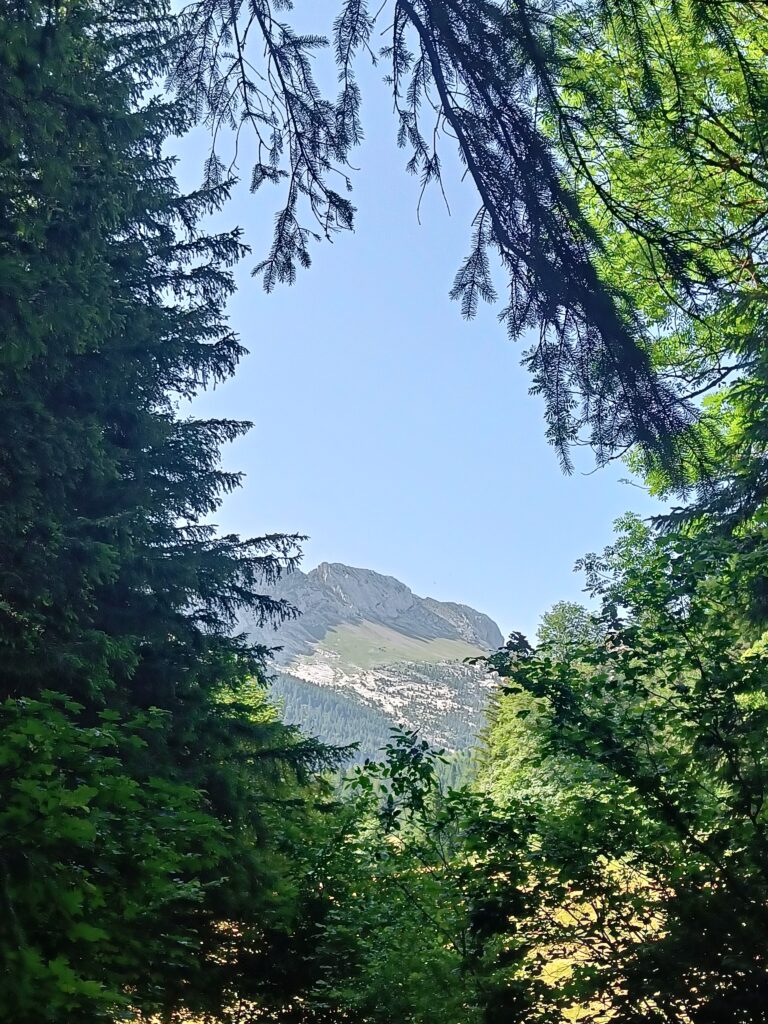
Finally, the summit is in sight. What a liberation. The plateaus are in range, and the stillness and the silence are already everywhere, only faded by the few step from the other fools one can meet in the evening at the top of a 1900m-high mountain. After over 1500m of elevation gain, the first night of rest is well deserved.
Day 2
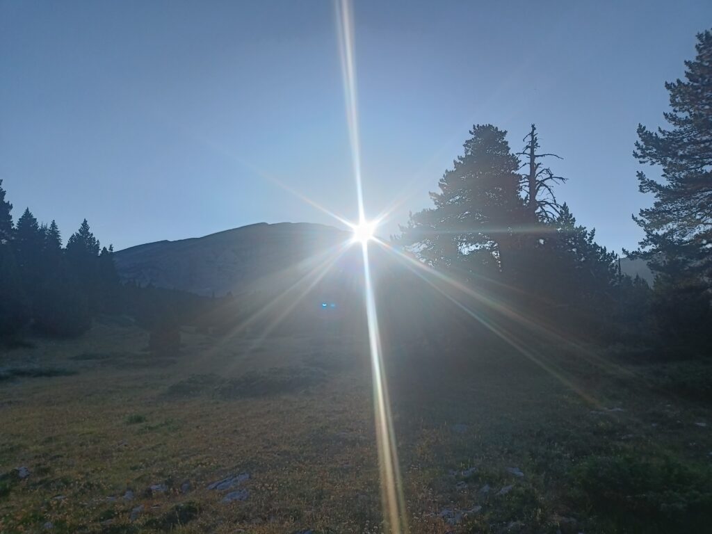
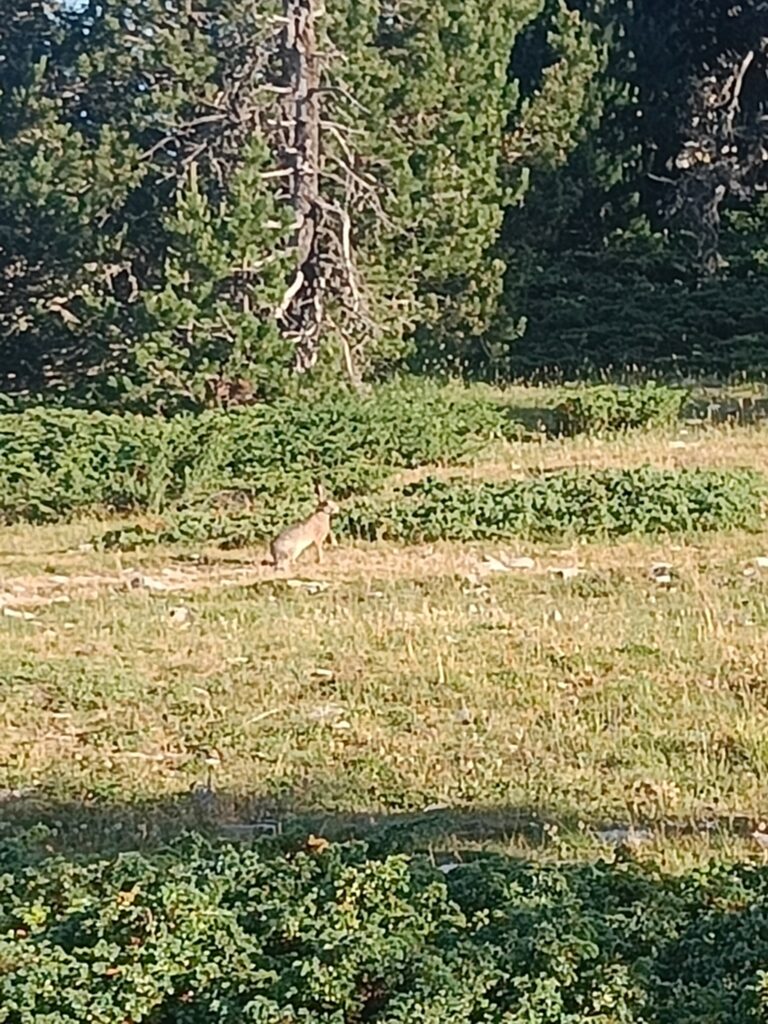
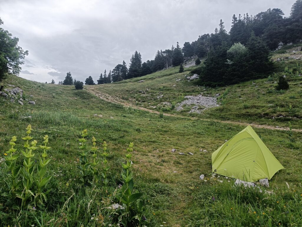
By morning, the mountains already enchant you with what they have to offer. Sunrise over the tent, then the run of the chamois, who, on the other side of a stone field, never expected to see a human here.
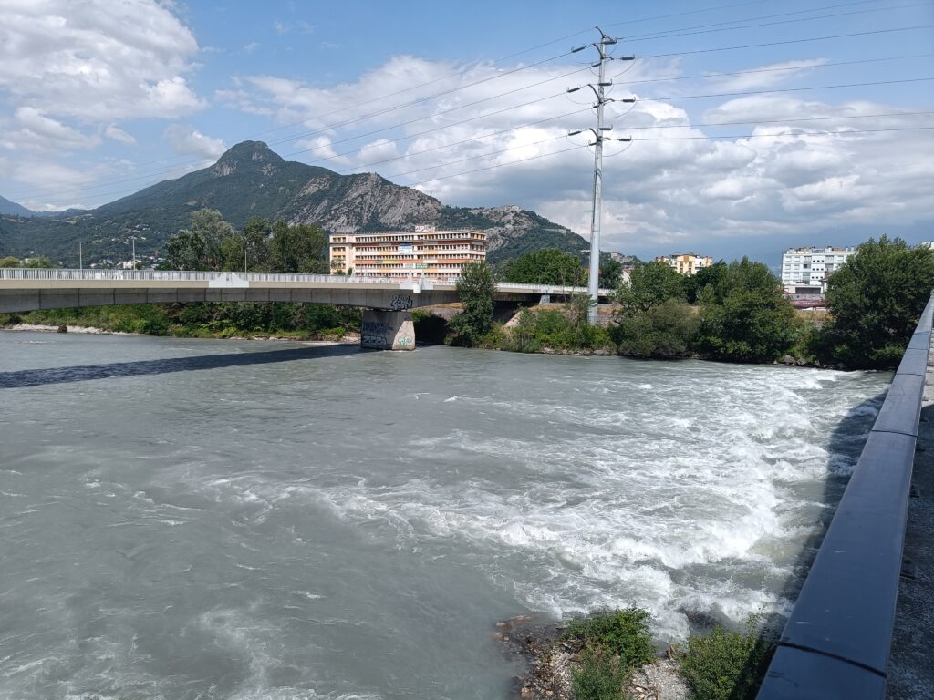
The village of Die will still be with you at the start of the day, and you can even see the railway station you may have arrived at. It’s as you take in the view that you realize you’re already in a place that yesterday seemed like the summit of Olympus.
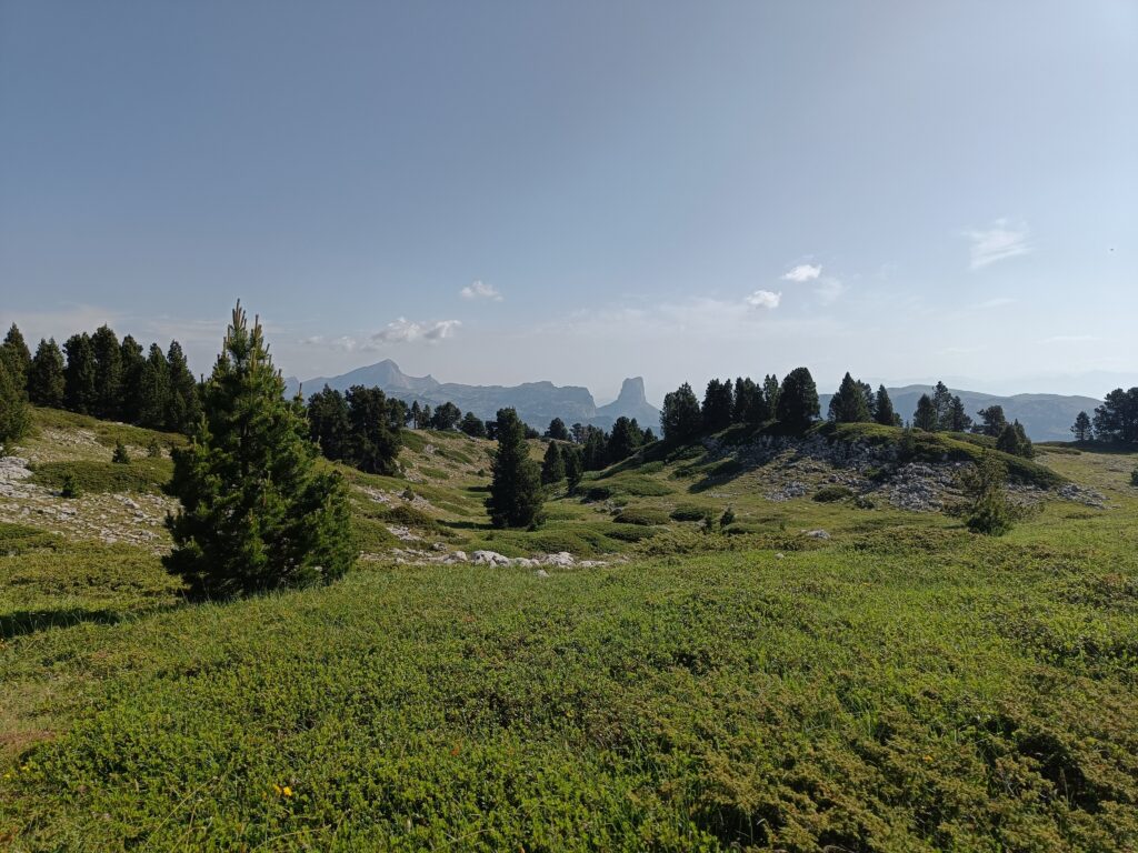
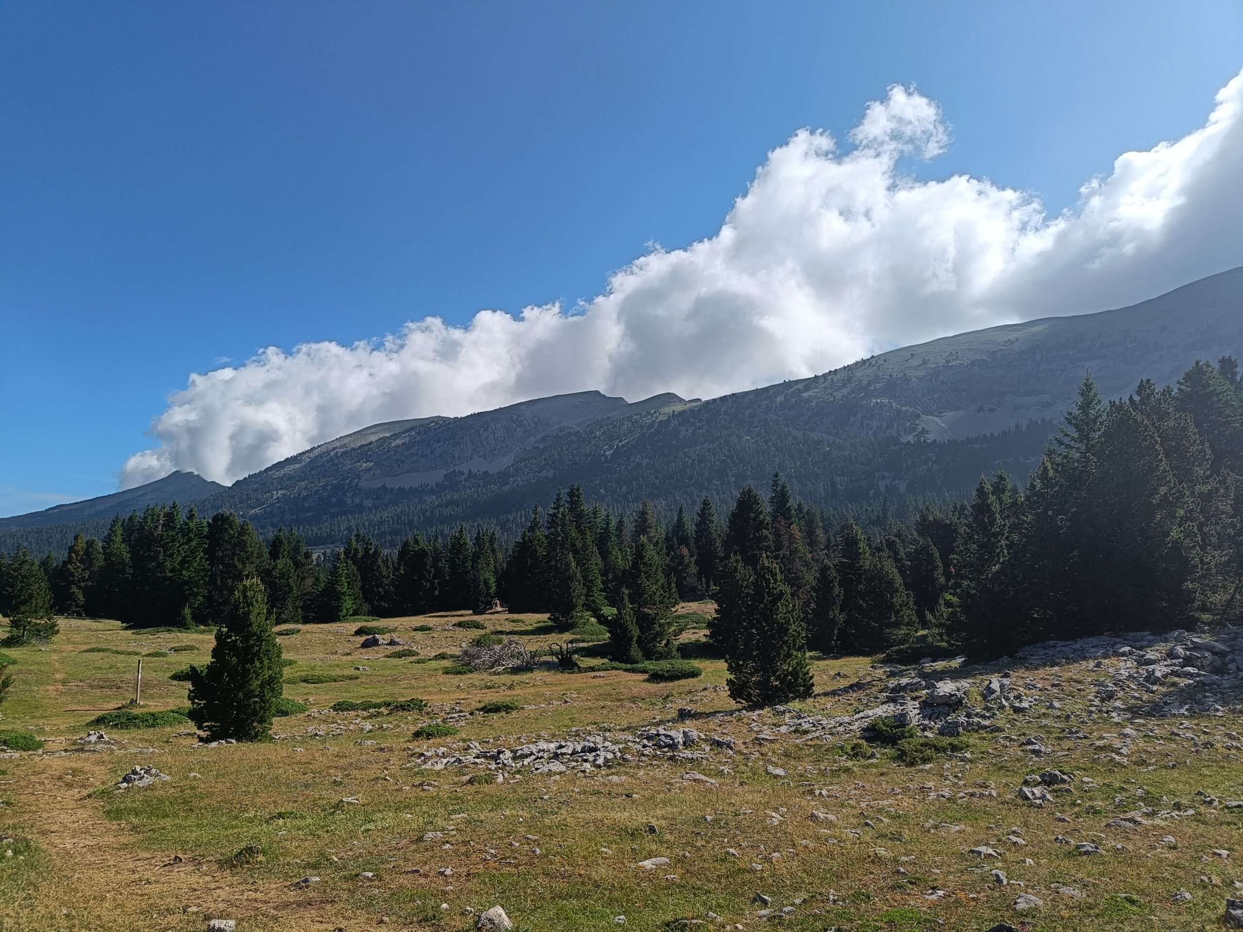
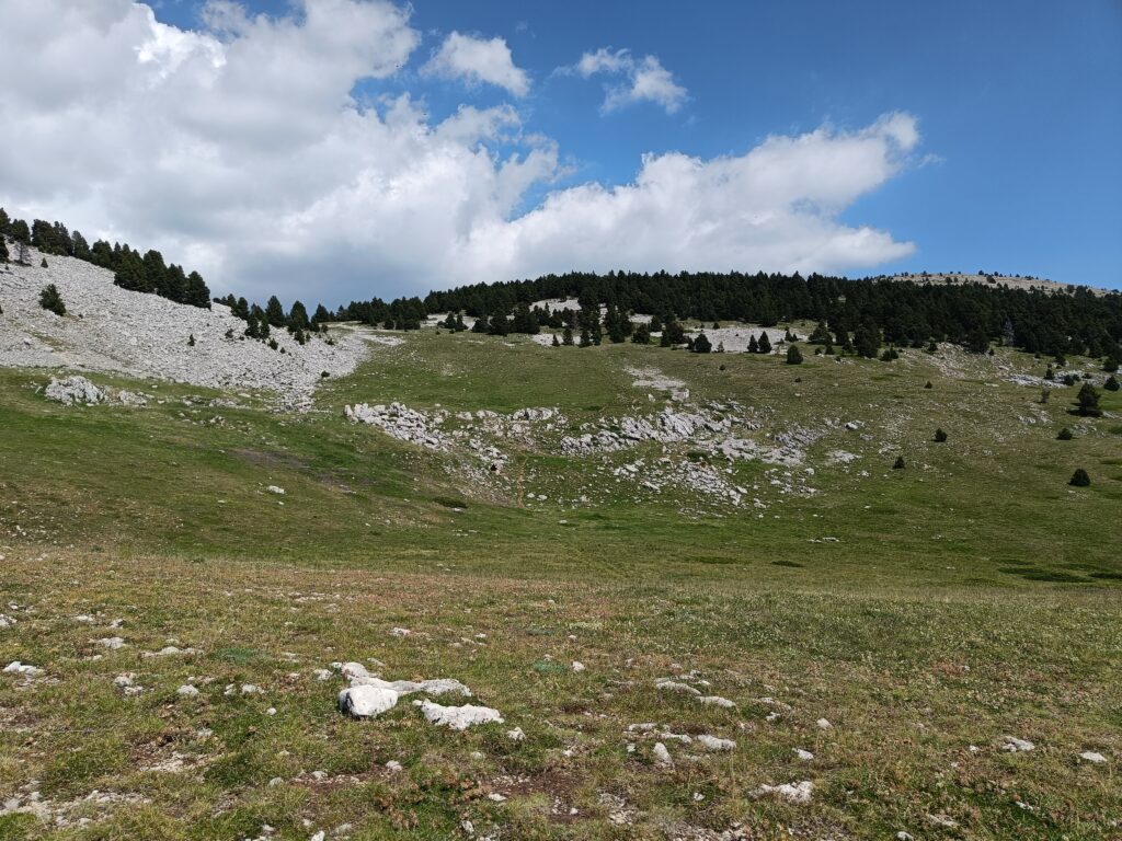
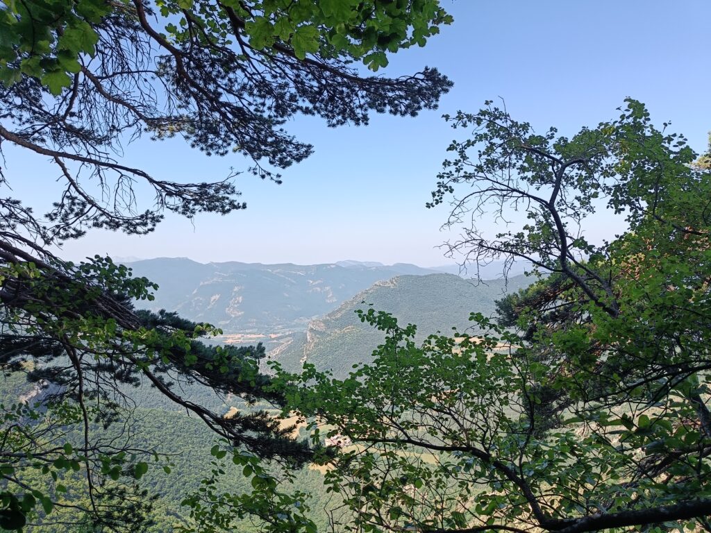
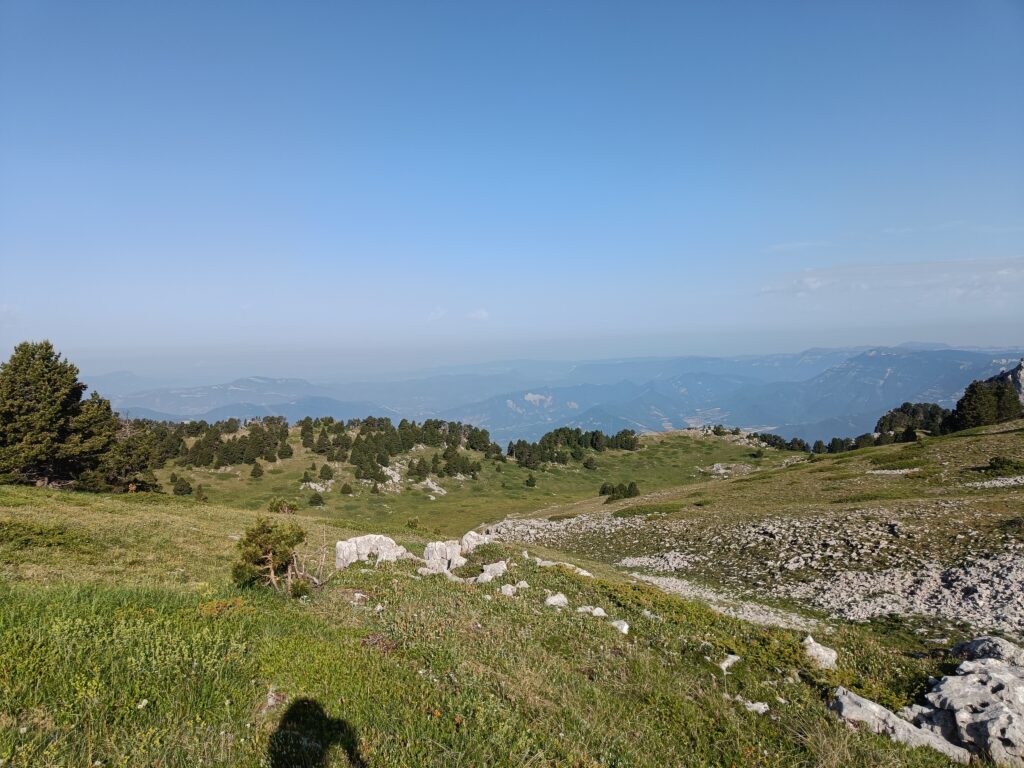
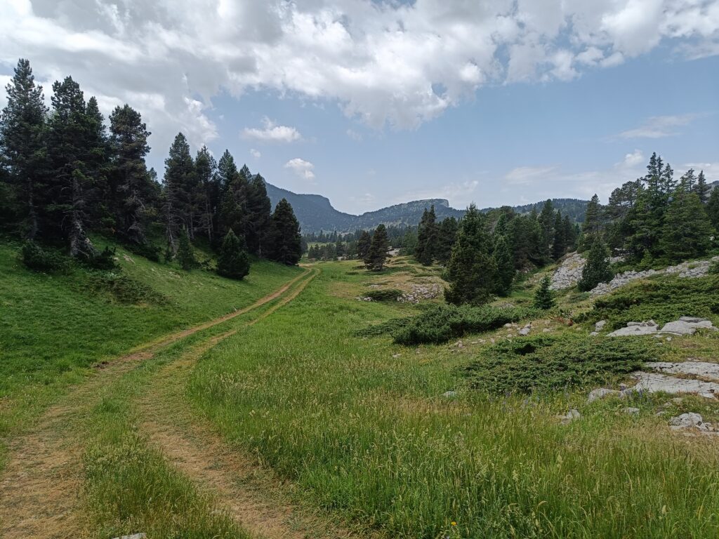
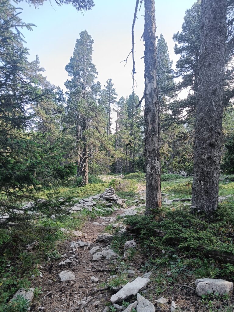
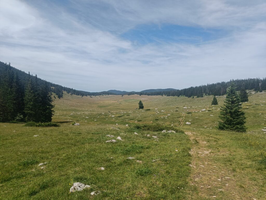
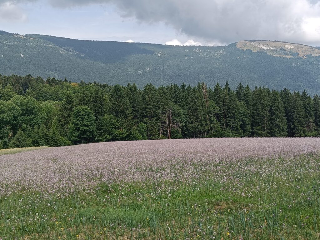
At last, the heart of the plateau. It’s not all flat, but the change of pace between uphill and downhill is pleasant. After a while, you feel almost covered by these forests and mountains, and it sometimes becomes impossible to see further than a few dozen meters.
Today we’ve only come across one viable water source. Don’t hesitate to fill up your reserves in these conditions, as you never know where the next source will be.
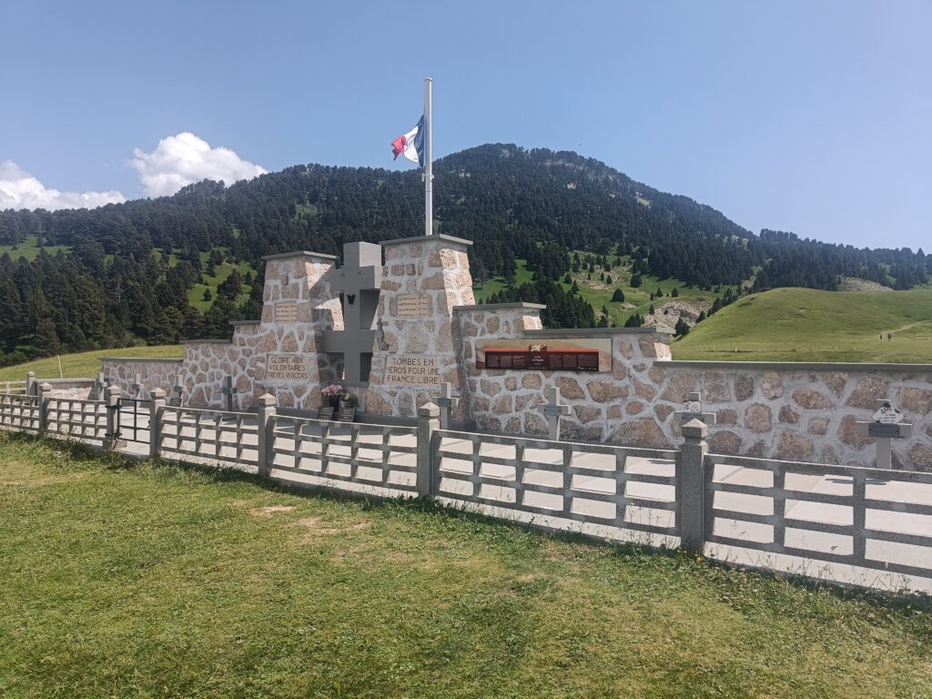
Any journey through the Vercors must at some point mention the Resistance who fought there. At the pas de l’aiguille, you’ll see a monument to the courage of these soldiers. A few meters further on, you’ll also see two caves that were used at the time to hide supplies and soldiers.
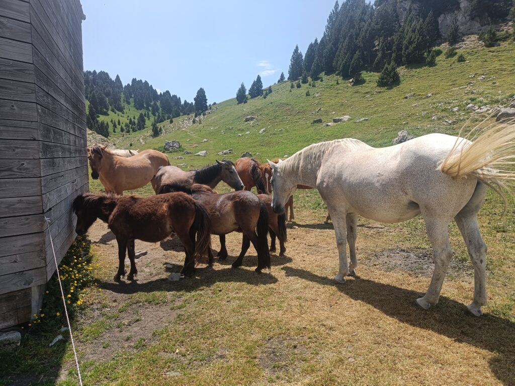
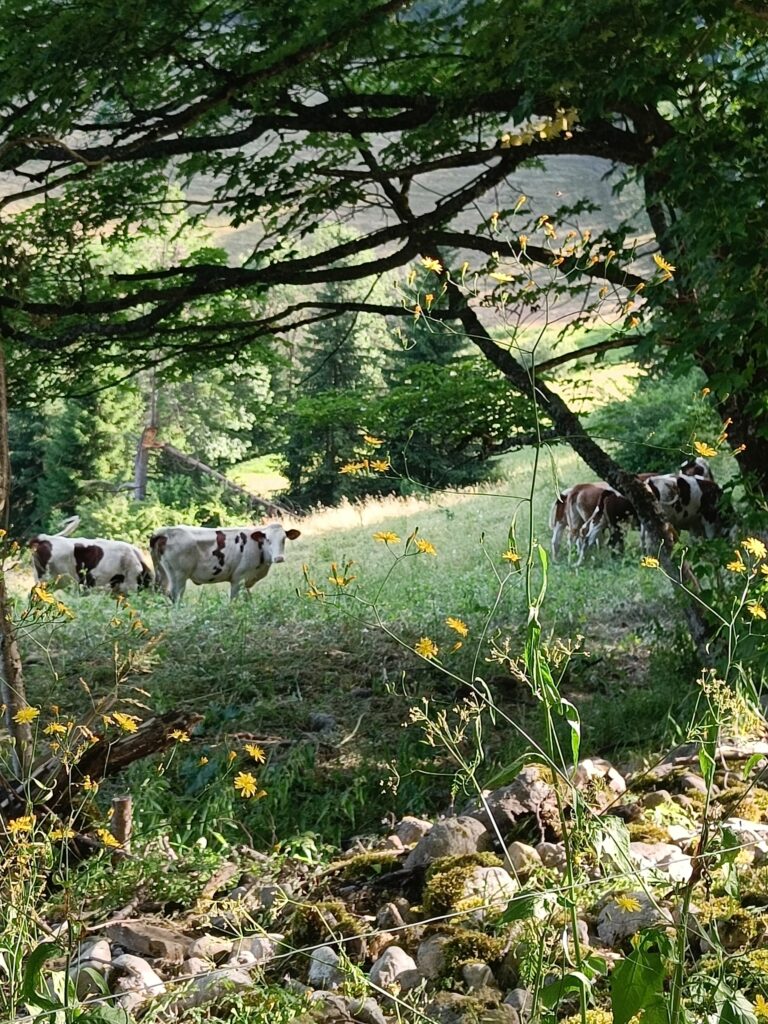
After so much history, so much heat and so much walking, it’s high time we took a little nap next to the horses at the refuge de Chaumailloux, who are not averse to dozing off for a few minutes either. We then set off again through the sparse forest of the Hauts-Plateaux.
Like me, you may come across a few patous, who are very protective of their flocks, but quickly forget you once you head in the opposite direction. This part of the hike also marks the start of the black grouse conservation area, an animal I was unfamiliar with, and which I also unfortunately didn’t get to see.
Day 3
Like almost every morning on the plateaus, you wake up to the sunrise, as if a beautiful day is already ahead even though you haven’t left the tent.
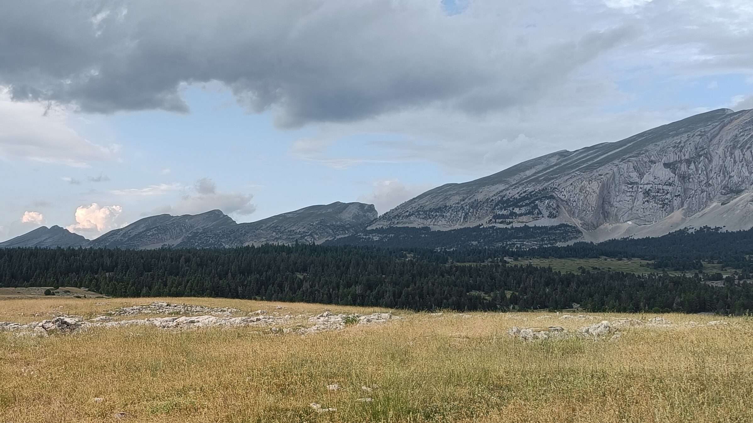
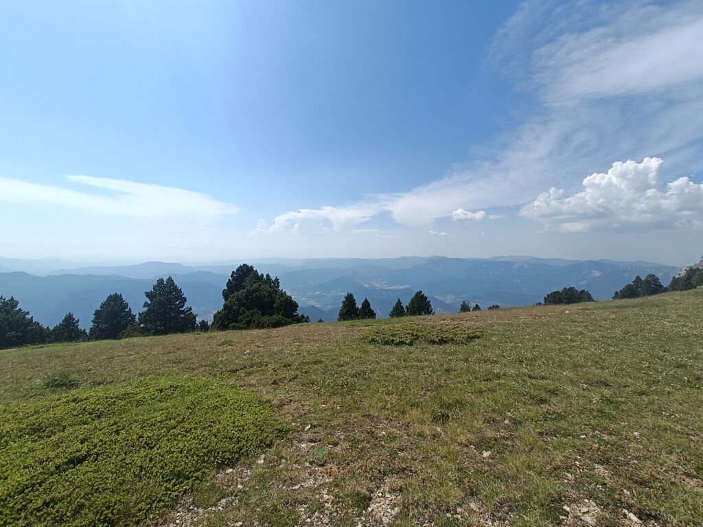
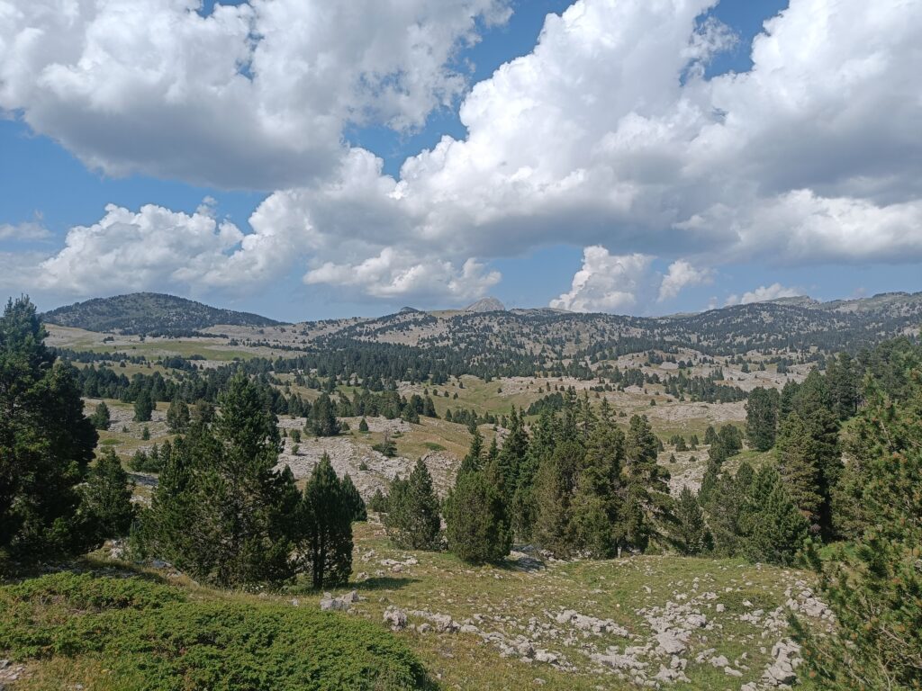
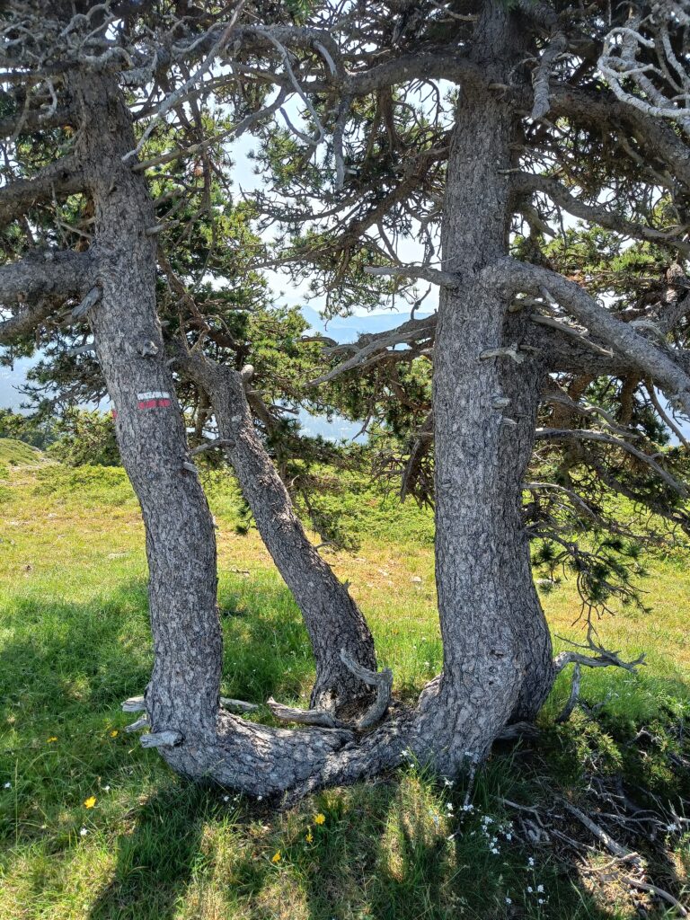
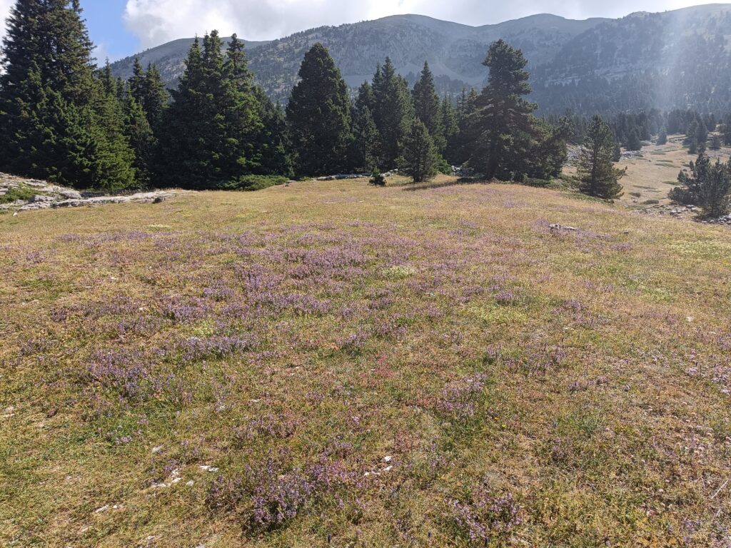
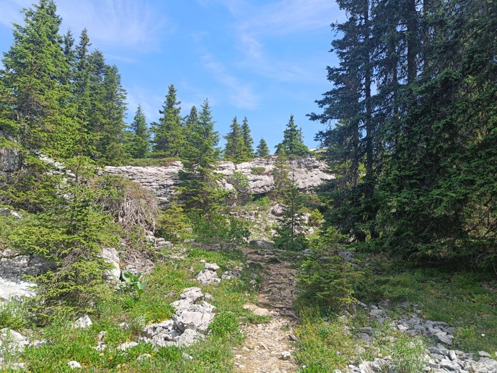
The landscapes, already starting to become familiar, have now decided to change, and a few colors have been added to the day, despite the strength of the sun, which seems intent on setting fire to every plain we can see. As for the shrubs and trees, they don’t have a care in the world – I wonder where they get all that energy from when there’s no apparent source of water.
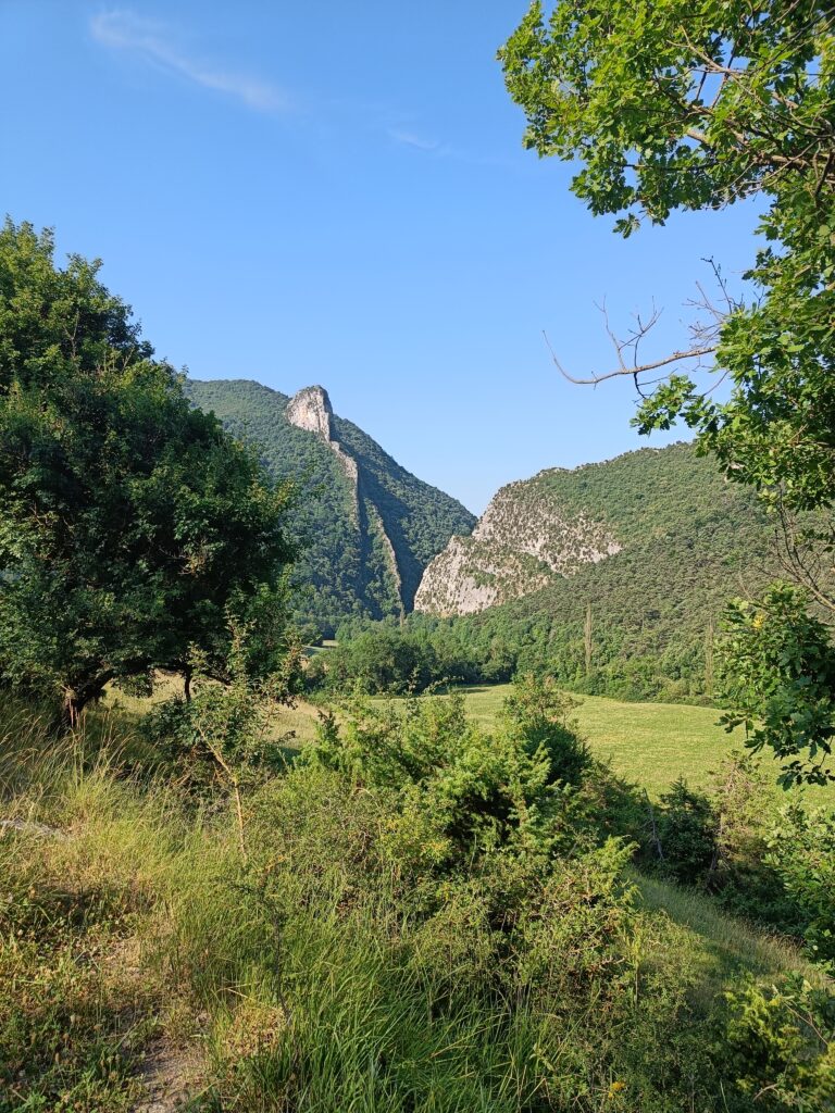
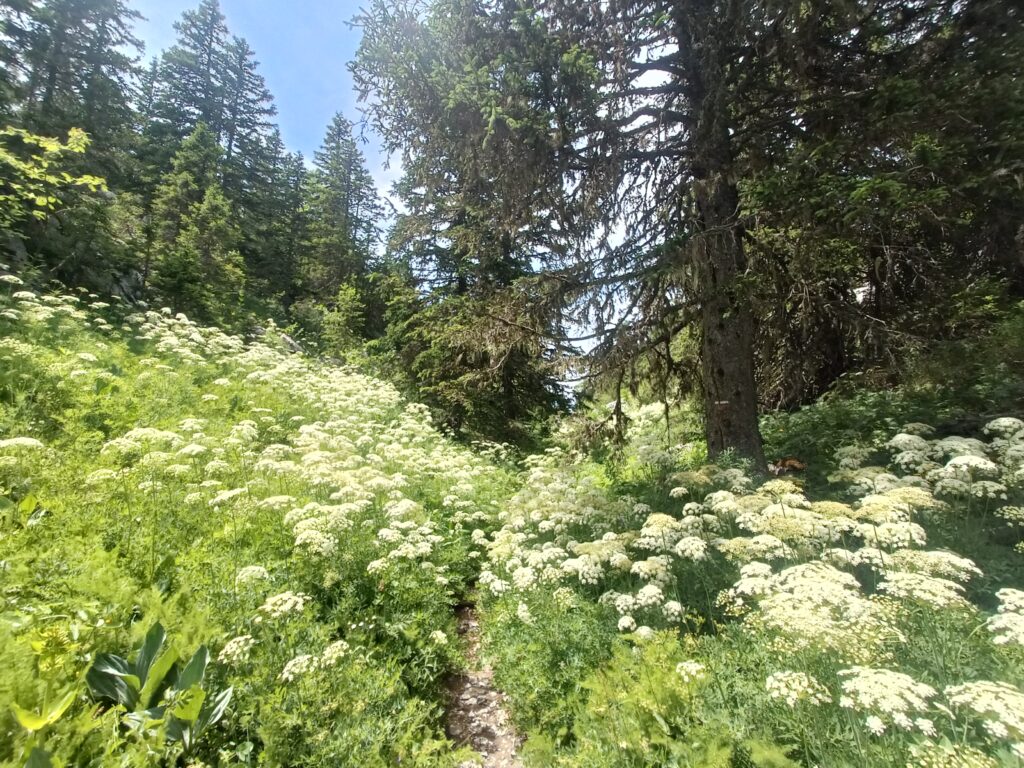
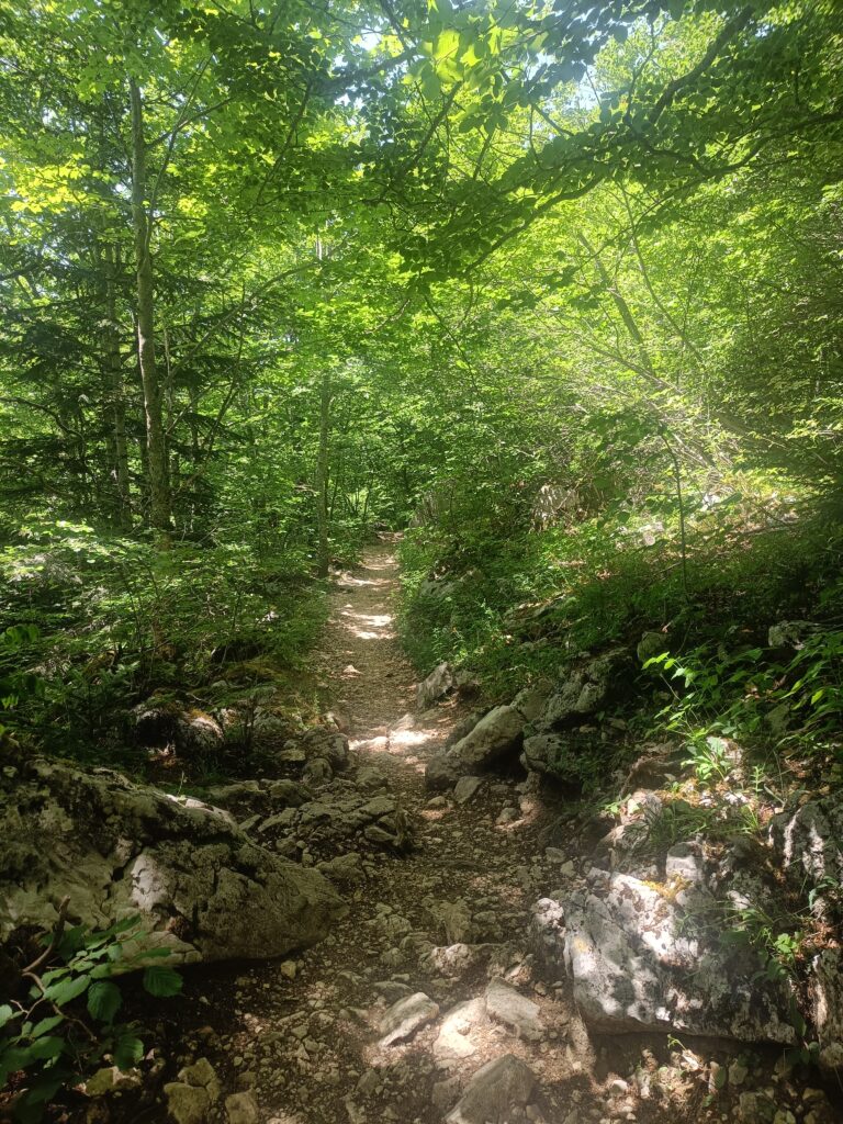
When suddenly, the plateaus start to pull you back down. Crossing a canyon, it’s like being in the jungle. The plants have taken over almost all their territory, which is however only crowded out by a narrow trail. This day is rich in kilometers, which means it also brings a lot of fatigue, but also a lot of satisfaction. At the end of the day, some 30 kilometers have been covered, and the trail has almost descended into the valley.
Day 4
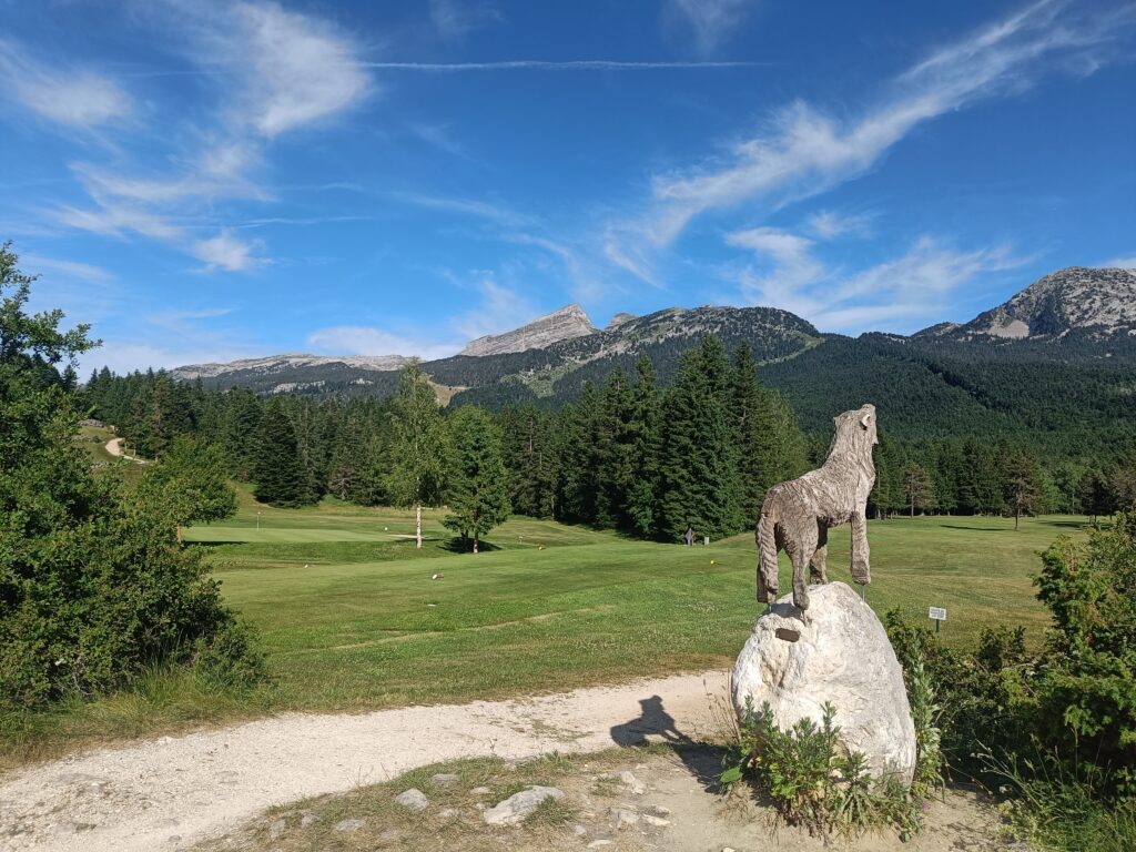
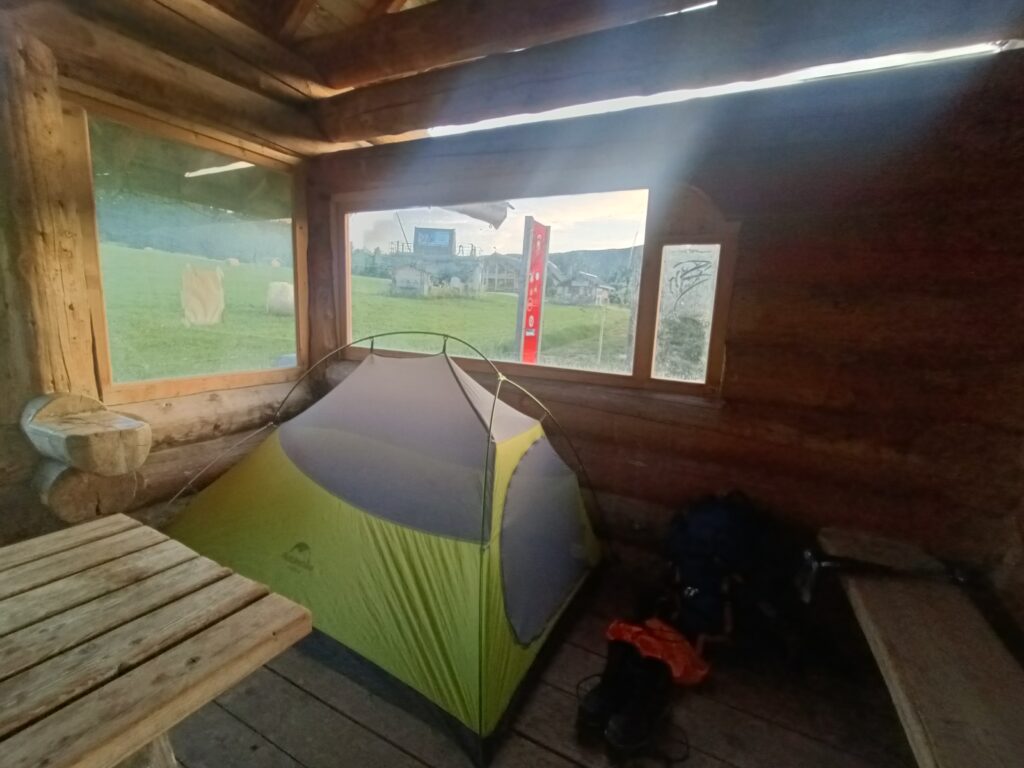
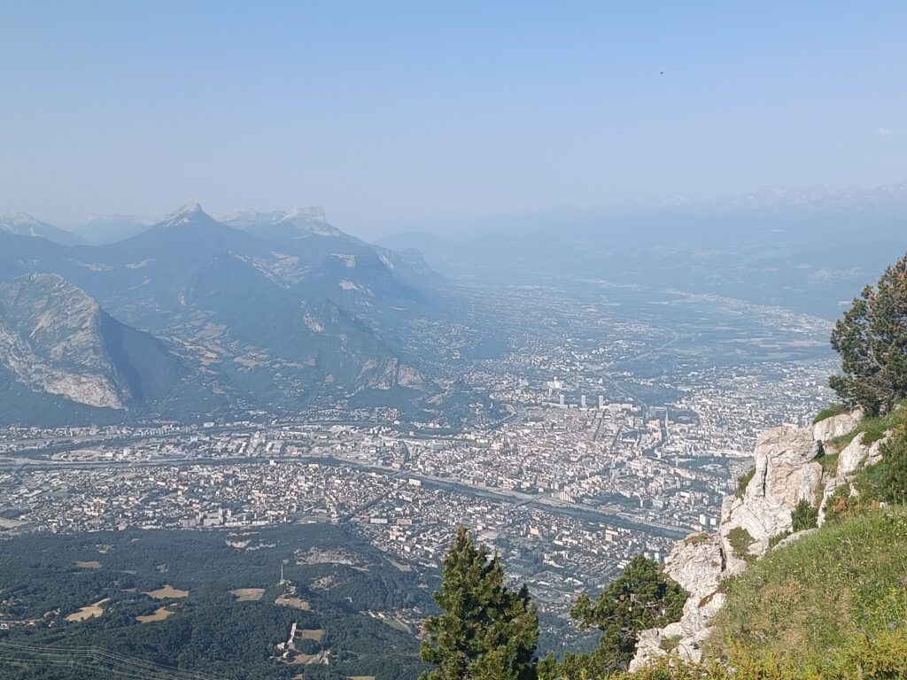
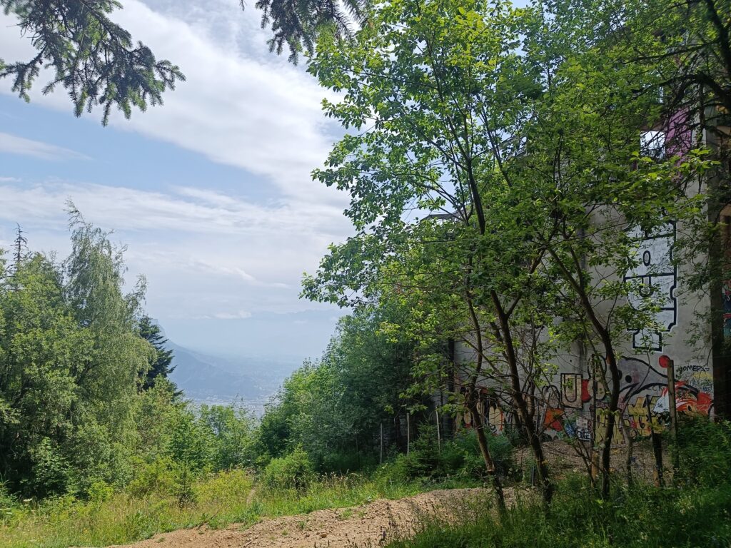
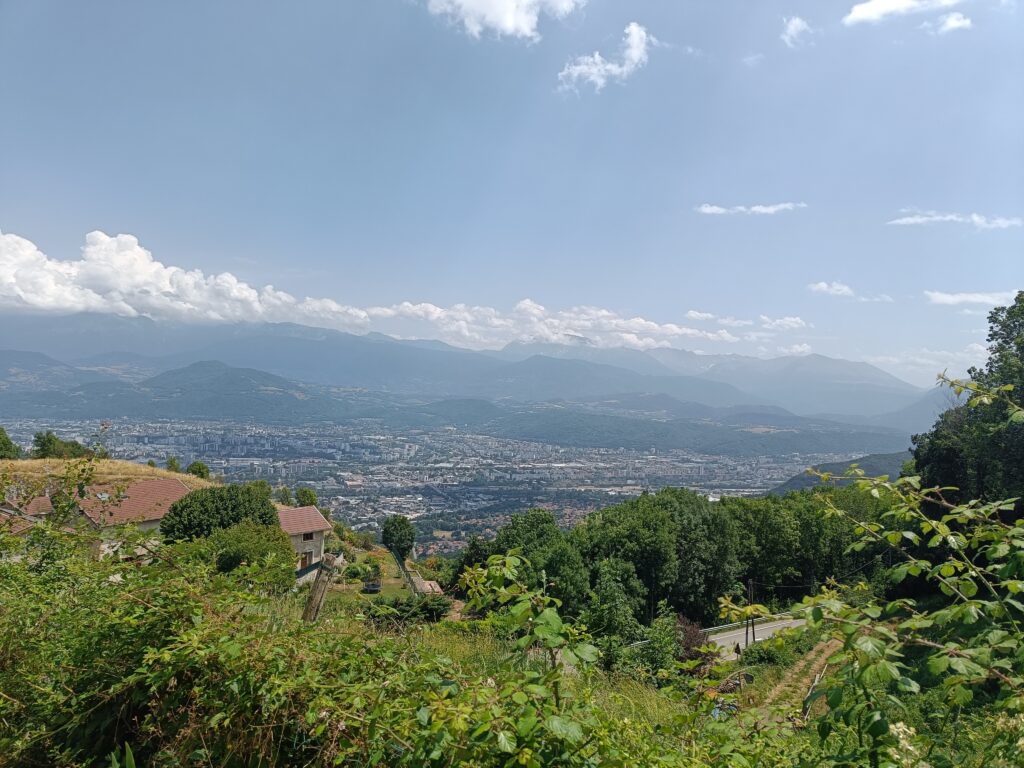
After a well-deserved night’s sleep, almost in the middle of the city, and perhaps in a place that’s not too authorized, it’s time to set off again for another climb. Beautiful views always require some climb when in the mountains! The fourth day promises to be richer in civilization, but it will also allow you to see the effect that the creation of nature protection zones such as the Hauts-Plateaux du Vercors can have.
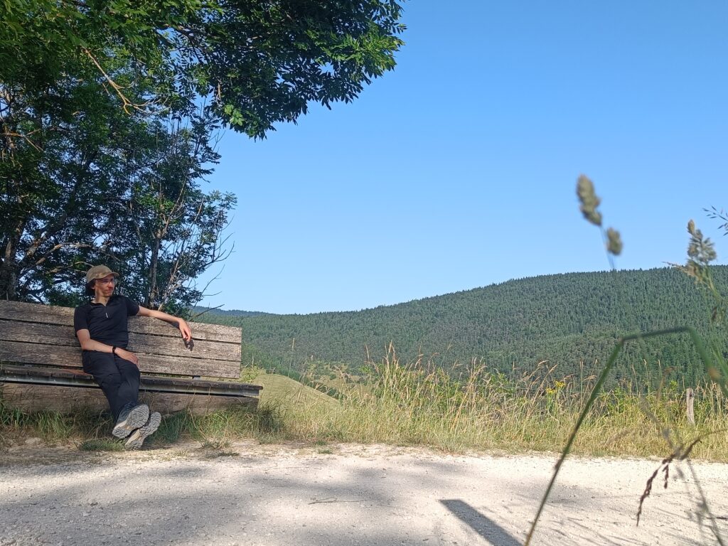
Nevertheless, all those kilometers don’t prevent you from taking a few short breaks.
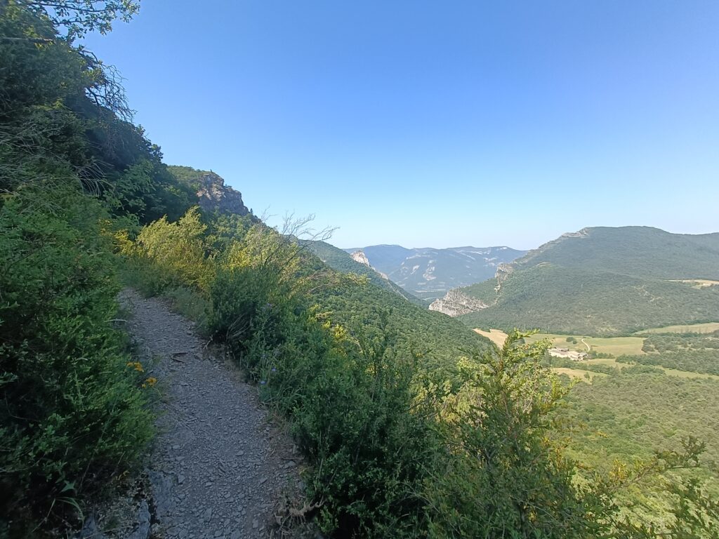
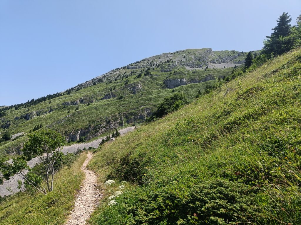
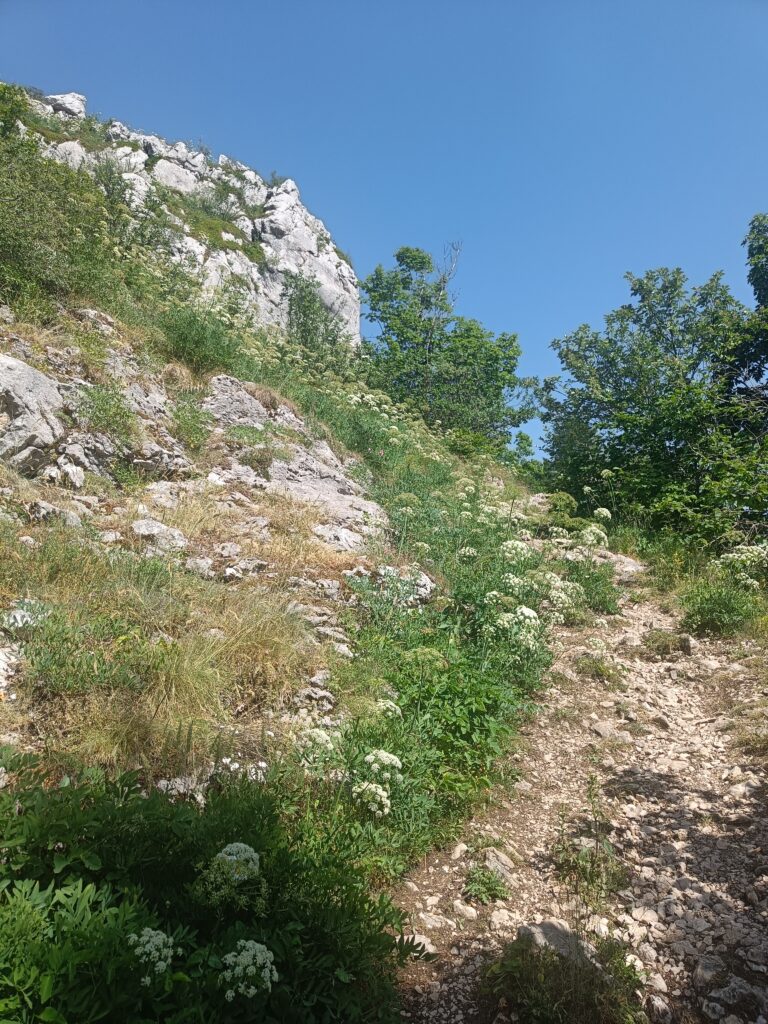
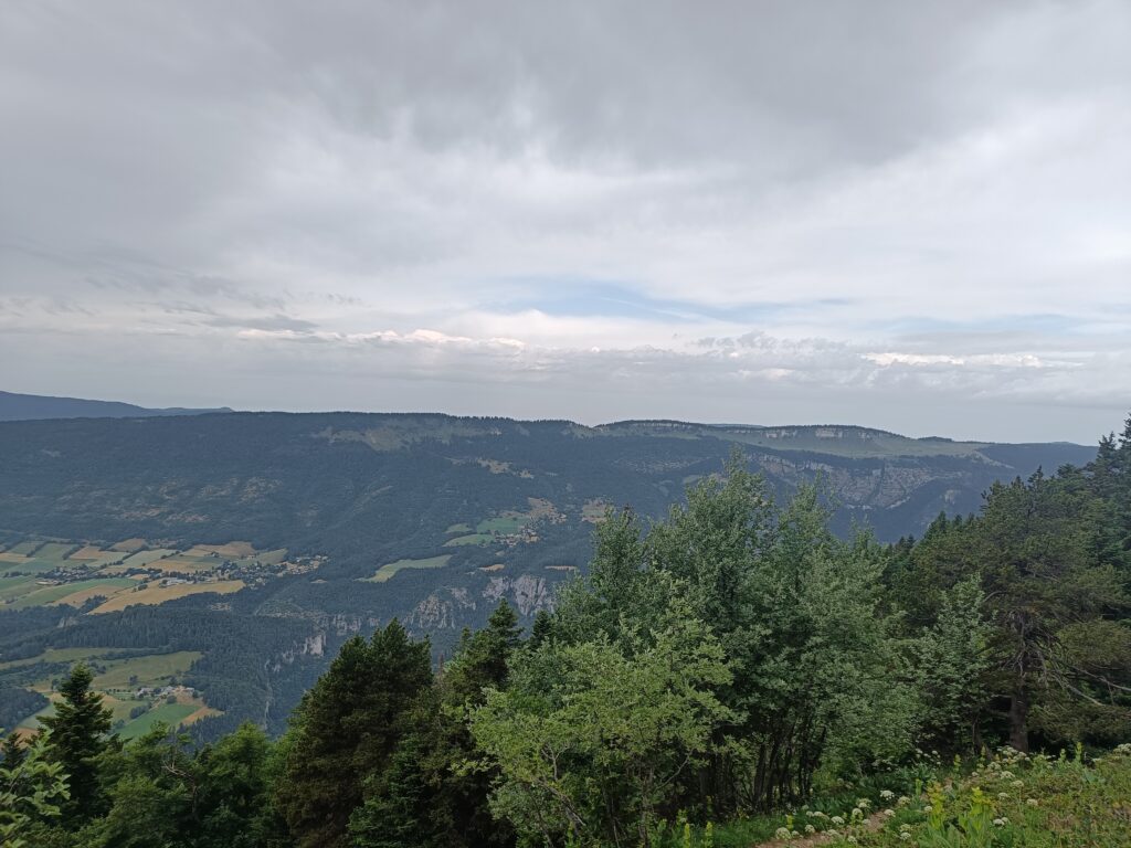
While the road is obvious in the valley beside you, the trail sometimes remains almost invisible on the mountainside, between rocky and forested sections. Despite this, you’ll still manage to follow it without too much difficulty.
When I was on this section of the GR, there was a race going on. What crazy people. Watch out for the heat, which was really beginning to rise during my hike.
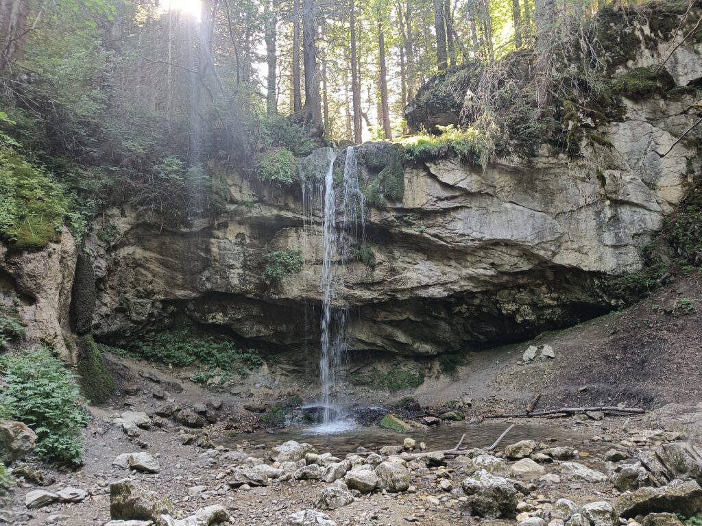
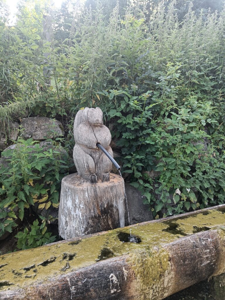
Once you’re closer to the valley and civilization, you’ll see more water, so there’s no need to worry about reserves. You can even see cute little troughs, as well as magnificent waterfalls and simple streams. And if you don’t need to carry kilograms of water, you’ll carry less weight in your pack.
In the end, adventure is always full of encounters. Between the local lost on the trails who asks for my help to reach a pass, and the hut companion who’s doing the same adventure, in the end there’s no time to get bored, even if it’s exhausting from time to time. I hope your adventure will be just as rich in companions.
Day 5
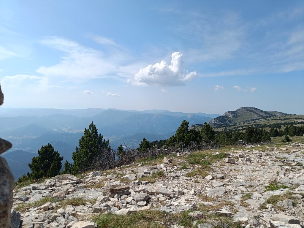
It’s already the fifth and final day. Make the most of the last panoramic views at the top of the Moucherotte, because today is the big descent. It’s always hard to say goodbye to the mountains, so make the most of the last few hours you’ll spend with them before setting off again.
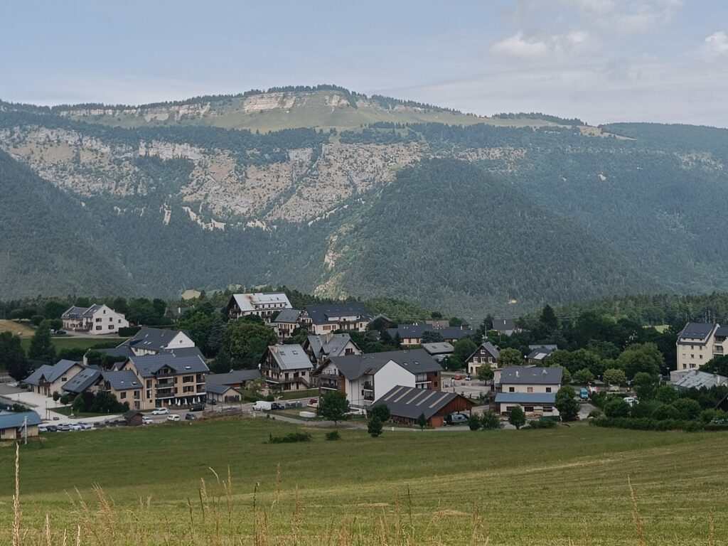
The fields are already appearing more and more. The butterflies that go with them are also a reminder of what it was like up on the plateaus.
And alas, after just a few short hours, the city will have caught up with you.
So this is where the adventure ends, full of changing scenery and a calm atmosphere that has reigned throughout.
Practical info
Access
Public transport:
– Die can be reached by night train from Paris to Briançon.
– Also from Paris, there are multiple trains to Valence, which you can complement with a bus journey to Die or by TER. This option will allow you to arrive later to start your hike.
Car:
– As this route is not a loop, accessing it alone with your car is not an option.
Water
Water sources are really rare, and you can sometimes go more than 24 hours without seeing any water, so take a good quantity of water storage with you, and don’t hesitate to fill up at every fountain you come across, even if it weighs more on your back.
Don’t hesitate to leave a comment, I hope you enjoyed the story of my adventure!